

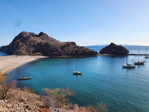
Our EarthCruiser route to Aqua Verde: the road in, beach camping, and the quiet spit around the corner.
When we started planning the Baja trip with the group, one place that everybody knew they wanted to visit was Aqua Verde. It's one of those places that is off the beaten path. The turnoff sits quietly off Highway 1, and the pavement disappears fast. By the time the Sea of Cortez came back into view, the road had made the point: this is not a place you stumble into by accident.
Aqua Verde is the kind of Baja stop that rewards patience. The drive is slow, the beach has no polished infrastructure, and the practical details matter more than a glossy itinerary. We went for two nights, camped on the water, paddled the bay, watched the dogs work the sand, and left wishing we had built more time into the trip.
This was not a solo run. We made the trip with Gary and Gretchen, both authors here on the site, along with Mike and Karen. Both couples traveled in trucks fitted with Four Wheel Campers, while we brought the EarthCruiser. Traveling with that mix of rigs made the road more interesting because we could compare how different setups handled the same turns, rocks, and beach conditions. It also made camp better. There was somebody to talk with while coffee was brewing, another set of eyes when the road got narrow, and enough room for everyone to have their own space at the end of the day.
Where Aqua Verde is
Before leaving the highway
The turnoff is the point where the trip changes from a drive across Baja to a small expedition of its own. On the highway, a missed turn costs a few minutes. Out here, a missed turn or a bad assumption can cost daylight, fuel, or a tire. We stopped at Santa Rosalía to handle the things that are easy to postpone when the road is still smooth: fuel, water, cash, ice, and a quick check of the tires and undercarriage.
That stop also gave us a chance to reset our expectations. Aqua Verde is not a resort with a rough access road. It is a coastal village and working bay reached by a road that gets little help from signs or schedules. There is no front desk waiting for a late arrival, and there is no convenient store around the corner if dinner falls into the sand. Once we accepted that, the planning became simple. Carry what we need, leave room for the road to take longer than expected, and make decisions while there is still plenty of light.
We kept the navigation running on downloaded maps and treated every fork as a reason to slow down. Tracks can split, fade, or lead toward a private property entrance rather than the beach. A route that looks obvious on a screen is less obvious when the ground is covered in the same pale dust and dark rock. I would rather stop, compare the map with the terrain, and ask locally than spend an hour trying to rescue a wrong turn.
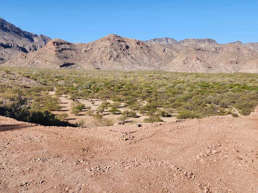
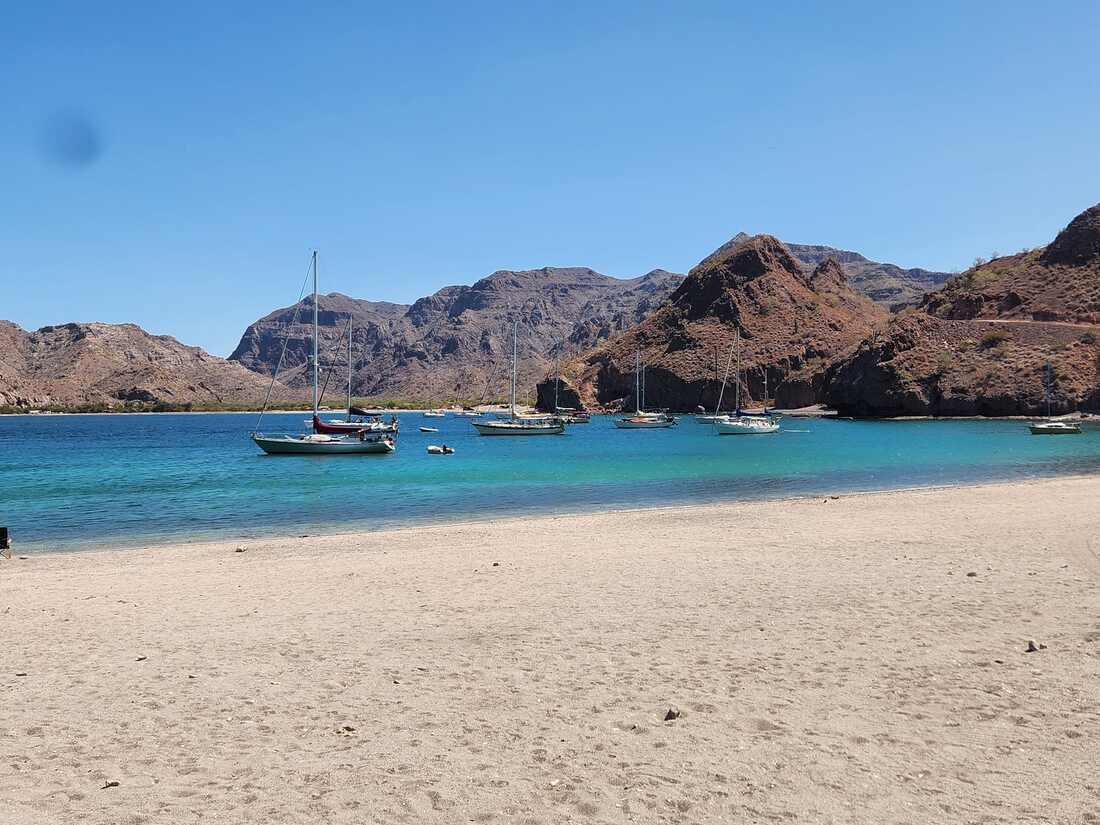
Puerto Agua Verde is on the Sea of Cortez side of Baja California Sur, south of Loreto. The route leaves Highway 1 and works through the mountains toward the coast. The last part of the approach is unpaved, and the condition can change with weather, use, and grading. Treat any mileage or travel-time estimate you find online as a starting point, not a promise.
For current trail information, check onX Offroad’s Agua Verde trail page and talk with people who have been down recently. The nearby Bahía de Loreto National Park is worth understanding before a boat day; CONANP’s official park page has the current visitor information and regulations.
The road in with a heavy 4x4
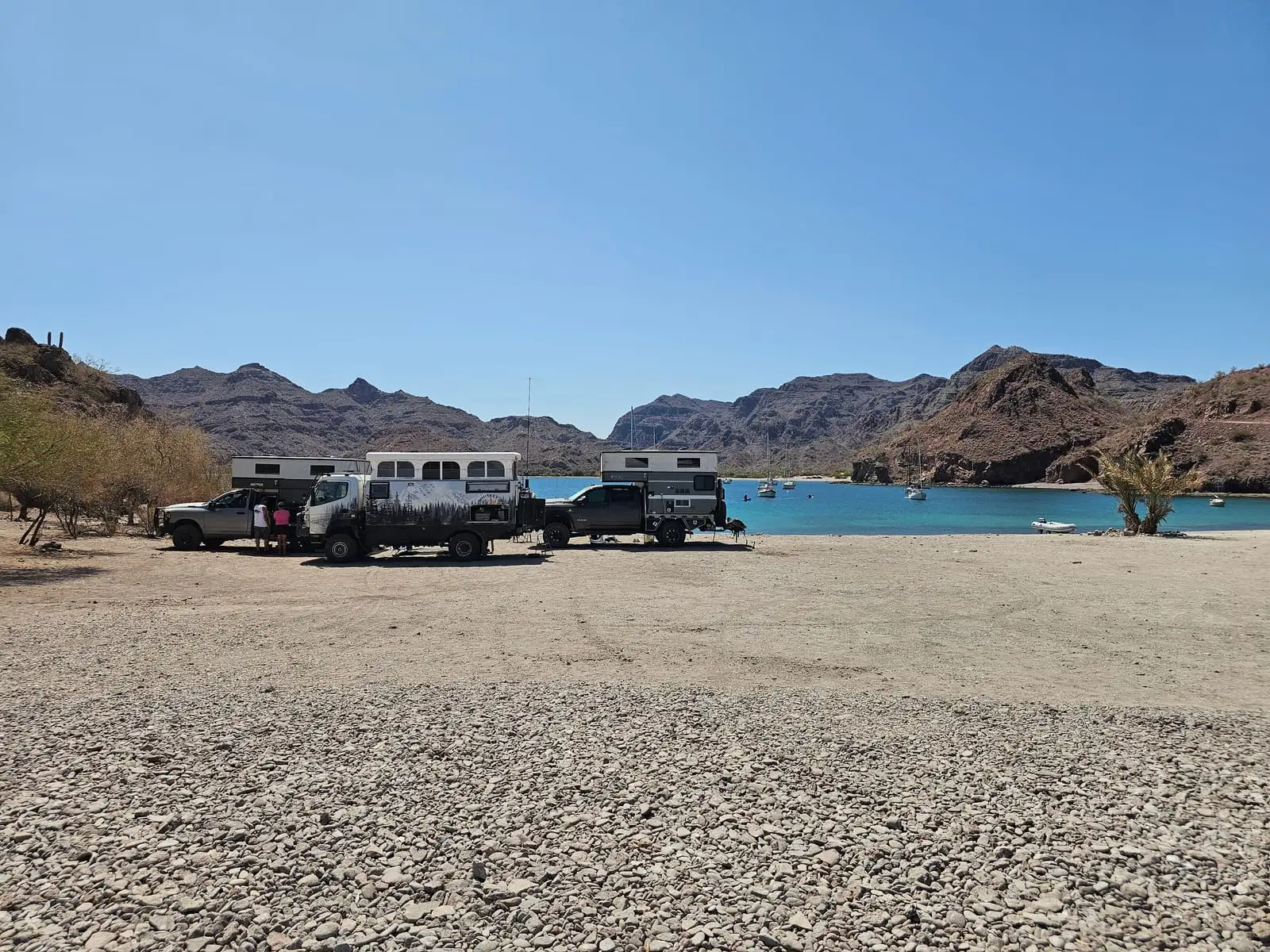
We were in our 2014 EarthCruiser EXP on a Fuso FG 4x4 chassis, a tall and heavy rig for a road with washboard, embedded rock, arroyos, and loose patches. We did not race it. We stopped when the surface changed, watched the line through the dips, and let the suspension do its job instead of trying to beat the road.
Having Gary, Gretchen, Mike, and Karen along gave us a useful comparison without turning the trip into a contest. The Four Wheel Camper trucks had a smaller footprint and could choose lines that required more care in the EarthCruiser. Our heavier rig brought more living space, but its weight made slow throttle control and tire awareness even more important. We watched one another, stopped when needed, and treated the group as a reason to be conservative rather than a reason to push farther.
The approach began as a graded dirt road, then narrowed and got rougher. We kept more pressure in the tires where the rocks were sharp, aired down for the softer sand near the coast, and accepted that the final miles would be slow. That tradeoff is part of the deal. A capable vehicle helps, but patience and good tire judgment matter just as much.
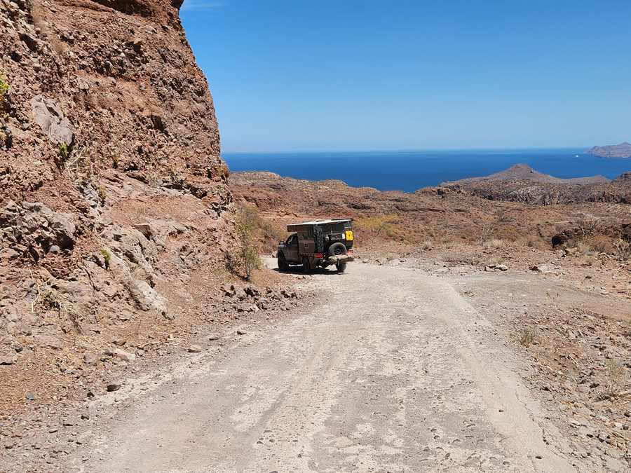
I would not turn this into a hard rule about which vehicle can or cannot make it. Conditions change, rigs vary, and a driver who is careful with a modest 4x4 can make better decisions than someone trying to prove something in a built truck. What I would insist on is real clearance, good tires, a full-size spare, and enough recovery gear to solve a small problem without turning it into a long day.
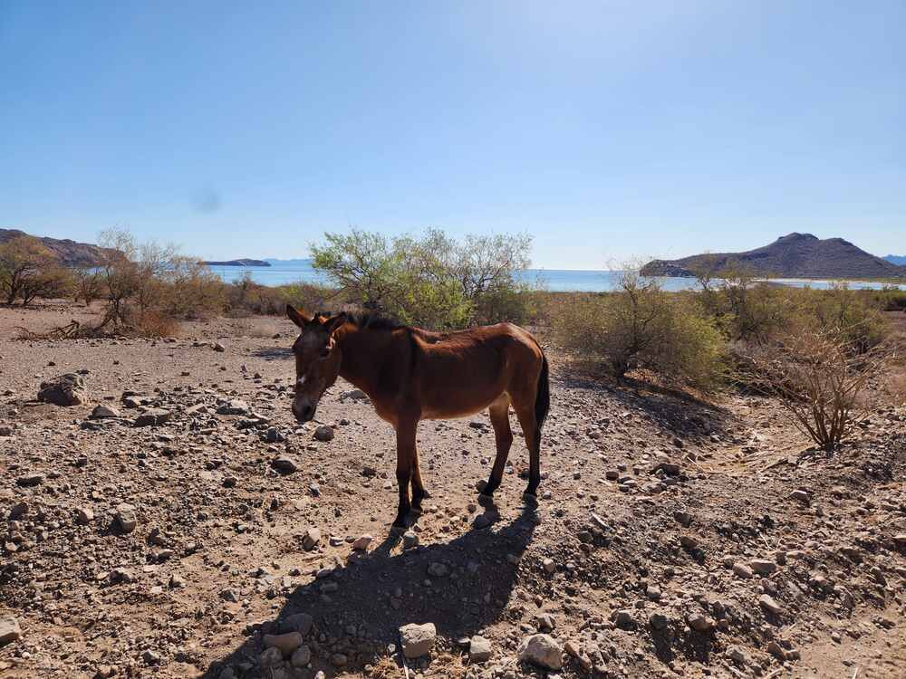
The beach spit around the corner
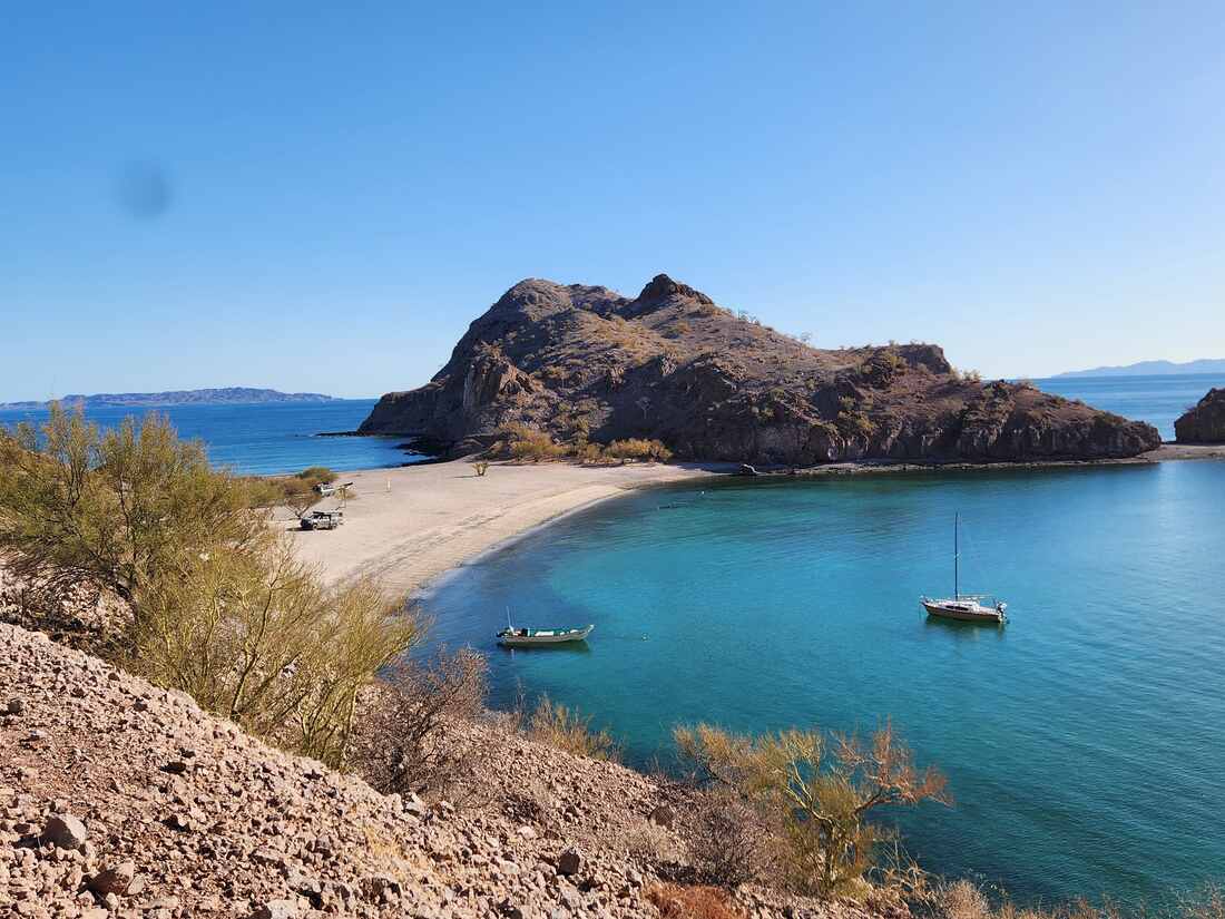
After we set camp and the dogs had their run, I walked east along the shoreline toward a low rocky point. From camp, it looked like the coast simply ended there. It did not. Beyond the point, the shoreline opened into a smaller cove with a pale sand spit curling back toward shore.
At the tide we caught, the spit was dry enough to walk end to end. One side had shallow, quiet water; the other dropped away a little faster and held more life. Gary and Gretchen put the kayaks in the water and spent the better part of the morning in the cove.
The shape of that little spit is not a permanent feature. Storms and tides will keep working on it. That is why I am not posting a precise GPS pin. The better part of a place like Aqua Verde is still finding your own way around the corner.
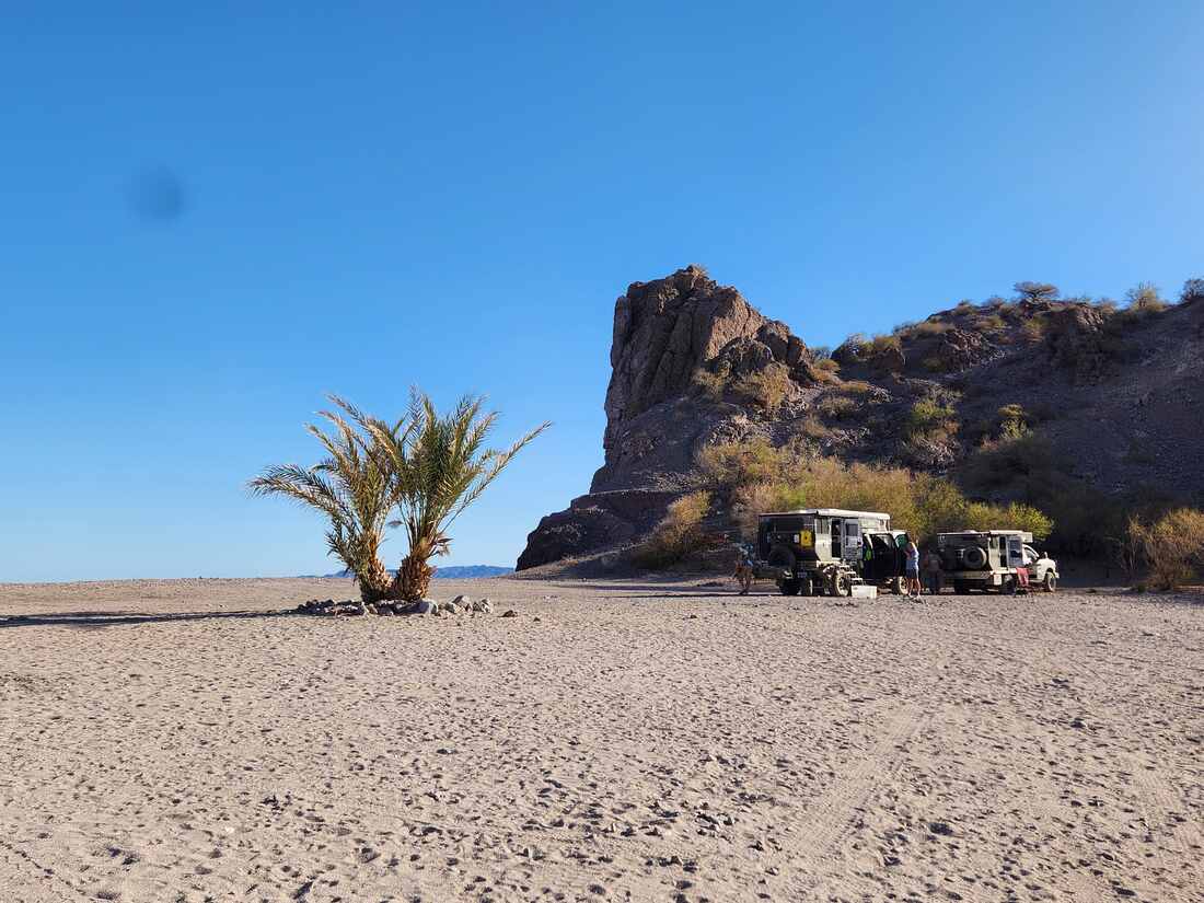
A slower way to plan the trip
The best Aqua Verde plan starts with a loose calendar. We watched the weather, gave ourselves an arrival window instead of a hard check-in time, and kept enough daylight in reserve to turn around if the road stopped making sense. That is the right mindset for a route like this. The goal is not to prove that a vehicle can get somewhere. The goal is to arrive with enough energy to enjoy the place.
We also kept the easy decisions easy before leaving pavement: water topped off, fuel handled, cash put aside, offline maps loaded, and the first night's meal ready to make. Little preparation matters more when the next supply run is an afternoon rather than a few minutes. It lets you camp where the day ends instead of driving tired because one small thing was forgotten.
If you are traveling with another rig, agree on the pace before the road gets rough. We prefer the slowest reasonable vehicle to set the pace, stop before somebody needs a rescue, and keep enough separation that dust does not hide the next washout. It sounds basic. It keeps a good Baja day from turning into a repair story.
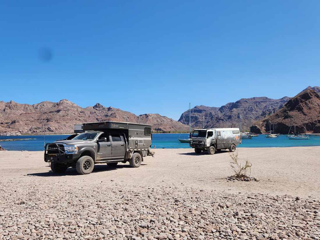
Camping, water, fuel, and communication
We planned for the beach as if there would be no services. That meant arriving with water, fuel, food, a tire plan, and a way to communicate outside the cell network. The village may have basics and fresh fish when the boats are in, but that is a bonus, not a resupply strategy.
- Carry more water than your normal overnight estimate, plus a reserve day.
- Fuel up before leaving the highway and do not count on a station or card reader farther down the route.
- Bring a full-size spare, tire plugs, a jack that works on your rig, and an air source.
- Tell someone your plan before you lose signal. We use our HF setup; a satellite communicator is a sensible alternative.
- Keep the beach clean. Pack out everything, give working pangas room, and do not publish exact spots that cannot handle a crowd.
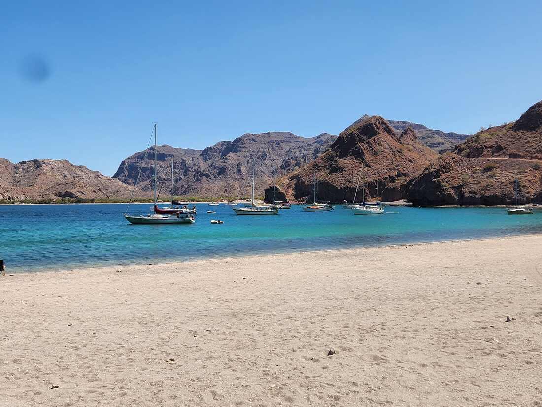
The bay is still a working place. Panga traffic starts early, and local fishing is part of the rhythm rather than scenery for visitors. If you want to arrange a fishing trip or buy a catch, ask locally and be ready to work around weather and the fishermen’s schedule.
A day at the bay
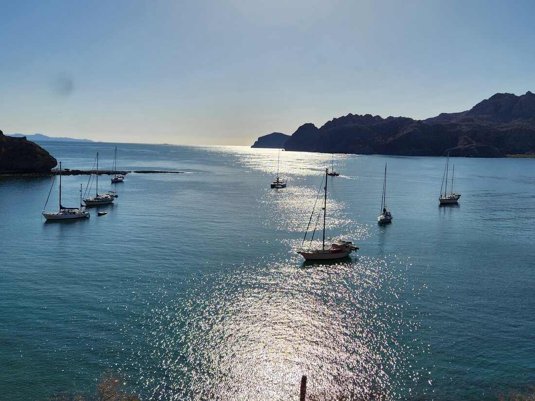
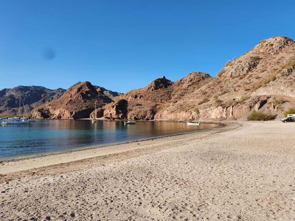
The first morning made the slow drive worthwhile. Before the sun climbed high, the beach was cool enough for the dogs to run without immediately looking for shade. The bay changed by the hour. Early water held the reflections of the hills, then the breeze roughened the surface and pushed small waves against the sand. A panga heading out gave us a useful reminder that the bay belongs to people who work it, not only to people who arrive with kayaks and cameras.
We never tried to force a full schedule onto the day. We walked the shore, checked the kayaks, watched the tide, and went back to camp when the heat built. That approach matters at a place without a marina, rental counter, or marked launch. You use the conditions you get. If the wind comes up, fishing or paddling can wait. If the tide makes the spit easy to reach in the morning, that is when you go. The landscape sets the timetable more reliably than a printed itinerary.
The quiet also changes how you think about camp. A generator that seems harmless in a crowded campground would carry across this bay. Bright lights would be visible from a long way off. We kept our setup small, stored food carefully, and left the beach looking as close as possible to how we found it. That is not a difficult standard, but it is one worth taking seriously when a place has so little infrastructure to absorb mistakes.
By afternoon, we were doing ordinary camp things: rinsing salt from gear, making something cold to drink, and sitting under the awning while the dogs slept. Those hours are easy to overlook when a trip report lists only roads, distances, and attractions. They were the part we remembered most clearly on the drive home.
What the beach gives you
The payoff for the road is not a checklist attraction. It is the ordinary stuff you only notice when there is nowhere else to be: coffee before the breeze comes up, dogs following the same line of wet sand over and over, the sound of a panga leaving before daylight, and a long stretch of afternoon with nothing asking for a schedule. We spent more time sitting outside than we expected to. That was the point.
Choosing the route and the timing
The route deserves more attention than a simple distance estimate because the same road can feel like two different roads on different days. Recent rain can cut channels across an arroyo, move rocks onto the track, or leave soft sand where a firm surface was there the week before. A road report from last month may still help you understand the general character, but it cannot tell you exactly what is waiting around the next bend. We planned around that uncertainty instead of treating it as a nuisance.
Our preference is to leave the highway early enough that the roughest part of the approach happens with the sun up and plenty of time left. That sounds obvious, but Baja travel has a way of turning a quick stop into a long one. A fuel line, a conversation, a tire check, or a wrong turn can use up an hour without feeling like a delay. I would rather arrive at the beach with time to look around than race the last miles because camp was supposed to happen at a particular hour.
The road also rewards a driver who is willing to get out and look. At a wash crossing, we checked the exit as well as the entry. The few minutes spent looking cost less than a damaged tire or a vehicle sitting crosswise in a place where another truck cannot get around. There is no prize for making a difficult section look easy from the cab.
If you are traveling in a group, keep the group small enough that everyone can make decisions without pressure. The lead vehicle should stop where the last vehicle can safely catch up, not disappear over the next ridge. Dust makes following too closely unpleasant and hides rocks that are easy to see when there is some distance between vehicles. We also prefer to discuss recovery plans before anyone needs one: who has the compressor, who carries boards, and where the safe place is to turn around.
Reading the weather, tide, and shoreline
Aqua Verde is a place where weather and tide affect more than comfort. Wind can make an otherwise pleasant paddle a tiring return trip, and the beach offers little protection from a strong afternoon blow. We paid attention to the water before launching instead of assuming the calm surface at breakfast would last all day. A short paddle close to shore is a better outing than a longer one that leaves you fighting wind with no easy landing point.
The tide changes the way the coast can be used. The sand spit that was easy to walk during our visit may be cut off, narrowed, or reshaped at another stage of the tide. That matters if you are carrying a kayak, walking with dogs, or trying to reach the calmer water on the far side. We watched how quickly the water moved across the low sand and kept our gear above the highest wet line we could see. A beach can look motionless while the edge is steadily moving inland.
The sun deserves the same practical respect as the road. Shade on the beach is limited, and the light bouncing off sand and water makes it easy to underestimate how much heat you are taking on. We arranged the day so the harder walking and paddling happened early, then used the awning and the cooler parts of camp in the afternoon. Long sleeves, a hat, drinking water, and a place to get out of the direct sun are more useful than a heroic plan.
Living beside a working village
Aqua Verde is not empty, even when the beach looks empty. The village and the bay have their own schedule, and fishing boats may be moving before visitors are awake. We tried to camp in a way that left room for local traffic and kept our gear from spreading across the beach. A panga coming through the shallows is not an interruption to the trip. It is part of the reason the bay is there and a reminder that we are guests in a working place.
That changes how I think about photographs and location information too. A quiet campsite can become less quiet when an exact pin travels widely online. I am happy to describe the road, the beach, and the experience, but I am not going to publish a precise location for the little spit or suggest that every open patch of sand is available for a large group. Leave the place enough room to remain useful to the people who live there and to the travelers who come with some care.
When we buy something locally or ask about the road, we try to be patient and flexible. Store hours, supplies, weather, and fishing schedules do not operate like a city timetable. Cash is useful. A few words of Spanish help. So does accepting that the answer may be tomorrow, later, or not this time. The best interaction is usually the one that does not begin with a demand for the exact service we imagined before arriving.
What to carry for a self-supported stay
A short list of equipment does not replace judgment, but it helps prevent small problems from becoming expensive ones. We carried enough water for the planned stay plus a reserve, food that did not depend on refrigeration for every meal, and a way to keep basic tools organized. The vehicle had its normal recovery and tire equipment, and we checked that the jack, compressor, and spare could actually be used on the ground we expected to find. A tool in a storage compartment is not much help if nobody knows how to reach it.
- Download maps before leaving dependable cell service and carry a paper backup or written route notes.
- Keep drinking water separate from the water used for washing and dishes so the reserve is easy to track.
- Carry sun protection, basic first aid, spare batteries, and a communication plan that does not depend on a phone tower.
- Secure loose camp gear before the wind comes up and keep food, trash, and fishing scraps away from dogs and wildlife.
- Leave enough fuel and daylight for the return route rather than spending every reserve on the way in.
The point is not to turn a beach trip into a military exercise. It is to remove the avoidable problems so the trip can stay relaxed. We want to spend our attention on the bay, the dogs, and the changing light, not on discovering that the only flashlight has dead batteries or that the spare tire cannot be lowered with the tools in the truck.
What we would do differently next time
Two nights was enough to understand why people return, but not enough to settle into the place. Next time, we would leave more room in the calendar, arrive earlier in the day, and carry a tide chart before deciding where to walk or launch the kayaks.
- Stay longer than two nights if the weather window is good.
- Check the road report immediately before leaving Highway 1.
- Carry less duplicate food and more flexible water capacity.
- Build a turnaround margin into the day instead of arriving at the coast after dark.
- Leave the exact beach pin off the internet and let the place keep some of its quiet.
The drive out
The drive out is not a victory lap. The same rocks, washes, and off-camber sections that got you in are waiting in reverse, usually when you are tempted to hurry because the highway feels close. We took our time, stopped at the viewpoint, and left with dust on everything and a clear plan to come back.
Why we will return
Aqua Verde worked because it did not try to entertain us. We had a beach, kayaks, dogs, a few good meals, and enough time to notice the water change through the day. That was plenty. Baja still has places where the road keeps the crowds down and the pace honest. Aqua Verde is one of them.
— Brent
About the Author
Brent Conklin
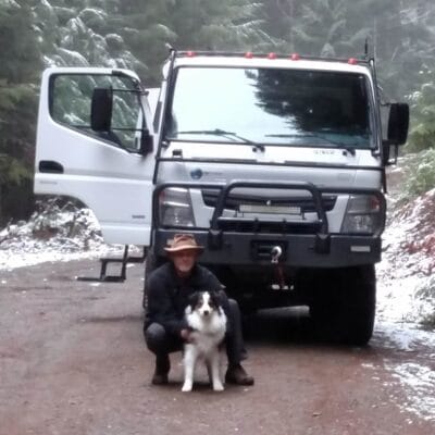
Owner of Whiskey7backroads and avid explorer. I am a Ham Radio extra class operator and frequent the Old Miss Net. I have been married for 37 years to Cheryl and we have 2 boys and 2 dogs.
Planning links and source notes
For current road conditions and route mapping, start with onX Offroad’s Agua Verde trail listing. For park rules and entry information if your plans include the islands or waters of Loreto Bay National Park, use CONANP’s official Bahía de Loreto page. Conditions, fees, and access details can change; verify them immediately before your trip.