

A guide to make sure you check all AI info with verified Human info
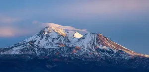
A 20-year-old woman was camped in an off-limits clearing on the south side of Mount Shasta earlier this summer. The no-camping sign was right there. She had driven past it. When the climbing rangers walked up, she told them, calmly, “Well, ChatGPT told me I can camp here.” It was not, the rangers pointed out, a great mountain-safety plan. Nick Meyers, the lead climbing ranger for the U.S. Forest Service on Mount Shasta and the director of the Mount Shasta Avalanche Center, told the San Francisco Chronicle that the camping incident was one of at least three AI-related mishaps his climbing rangers had handled on the mountain in 2026. A man at Bunny Flat produced a printed map generated by ChatGPT with fabricated route lines and place names. And then there was the August 29 to 31 rescue that put a third AI mishap at the top of the regional news cycle in California: three novice climbers stranded overnight in Mud Creek Canyon after relying on Google's Gemini to plan a summit attempt that turned an eight-hour day hike into a sixteen-hour overnight.
The title quote of this piece is from that first incident, the woman in the south-side prohibited area. The rescue the news coverage has been chasing is a separate story, and it deserves a careful reading, because the things that went wrong on August 29 to 31 are not unique to AI. They are the things that have always gone wrong on mountains, dressed up this year with a chatbot in the lead. The fix is not to stop using AI for trip planning. The fix is to use it the way the climbing rangers do: as one input among many, with official sources holding the final word.
The August 29 to 31 Rescue, Hour by Hour
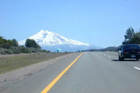
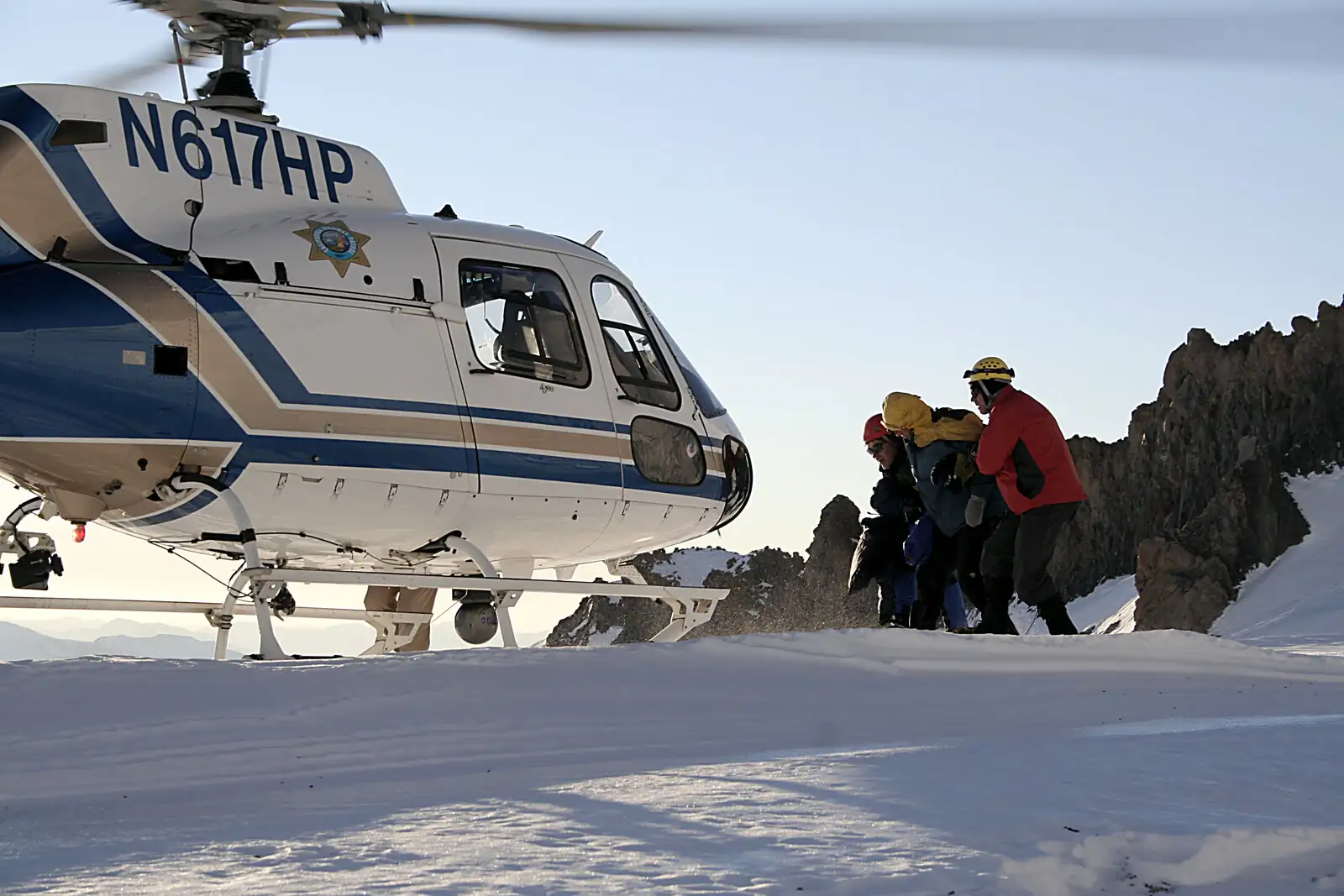
On Saturday, August 29, 2026, three 20-year-old men from Roseville, California parked at the Clear Creek Trailhead on the southeast side of the mountain. The Siskiyou County Sheriff's Office would later write that the group established a base camp at roughly 8,400 feet near the head of Clear Creek, in an area where camping is prohibited and posted. They were carrying daypacks sized for a day climb. They had used Gemini for the route, and Gemini had told them the trip was an eight-hour round trip.The Sheriff's Office Facebook post on September 1 put it plainly: “This was a critical misstep, as they were advised by Gemini to bring far less food and water than their group required, especially when their planned 8 hour ascent became a multi-day ordeal.” The Siskiyou Daily News confirmed the same chain the same morning, and SFGATE added the detail that the AI had told the group to pack simple carbohydrates rather than fats “because they take too long to digest,” a piece of nutrition advice the climbers repeated back to the rangers themselves.Sunday morning they left camp at 3 a.m. PDT. By 7 p.m., sixteen hours after their start, they were on the 14,179-foot summit. The mountain's recommended noon turnaround had been passed seven hours earlier. The descent was in the dark. Within an hour the group called the Sheriff's dispatch to ask for directions, and then walked off the Clear Creek Route into Mud Creek Canyon, the steep drainage on the southeast flank the U.S. Forest Service has warned about for years because of its documented history of serious accidents when hikers become lost.One climber fell and injured his left knee at around 11,500 feet. The phone they had been navigating with died. The backup power bank did not properly connect. The group stopped where they were, in steep drainage without food, water, warm clothing, or emergency shelter, and spent the night. U.S. Forest Service climbing rangers reached them at 9:30 a.m. on Monday, August 31. Two helicopter hoist attempts were canceled because of wind. The party descended on foot with the rangers and was back at the Clear Creek Trailhead by about 6:30 p.m. No one died. The whole thing was preventable.
What the Climbers Said to the Rangers
The Sheriff's Office and U.S. Forest Service press statements both carried one direct quote from the climbers themselves, attributed to the official incident report and to the climbers' own words to the rangers: “We relied too much on AI rather than our own critical thinking.” SFGATE ran the line. Times of India summarized the same line USA Today did. The line is the climbers', not the rangers', and it is the line the news cycle has run with. It is the right line, but it is not the whole story. The Sheriff's Office stressed in the same press release that the rescue resulted from a combination of problems rather than a single AI-generated error. The U.S. Forest Service echoed that frame. To collapse the rescue into “AI caused it” misses the human-decision errors the same press release names: setting up base camp in a posted prohibited area, continuing past the noon turnaround, and trusting a navigation phone past the point where the battery was clearly dying.
Three Mount Shasta Incidents, Three Different People
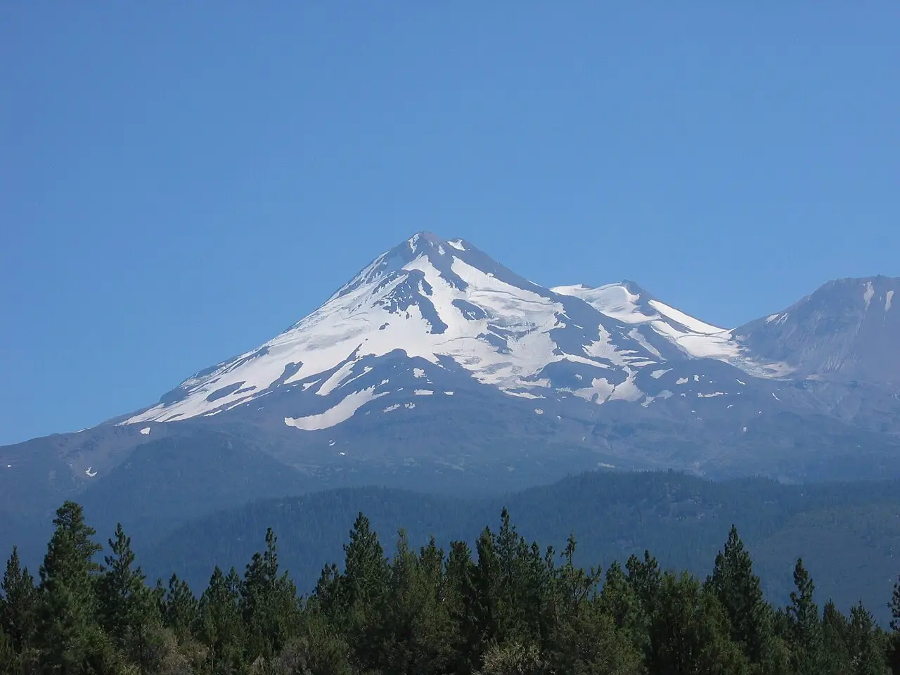
It is worth separating the three AI-related 2026 incidents on Mount Shasta, because they have been blurred together in coverage. They are three different people, three different mistakes, and two different AI tools (Gemini and ChatGPT).
1. The August 29 to 31 rescue, on the Clear Creek Route
Three 20-year-old men from Roseville. The AI tool was Google Gemini, not ChatGPT. Earlier USA Today coverage had said the wrong tool, and SFGATE ran a correction after the original error circulated. The mistake was a combination of factors: trusting an eight-hour round-trip estimate, packing simple carbs only, camping in a posted prohibited area, continuing past the noon turnaround, descending in the dark, and walking off-route when the navigation phone died.
2. The prohibited-camping woman on the south side, earlier in summer 2026
A separate person, on a separate date, on a separate part of the mountain. The AI tool was ChatGPT. The mistake was camping in a posted prohibited area because the chatbot told her the spot was fine. This is the source of the title quote for this piece: “AI told me I can camp here,” she told the climbing rangers, per Nick Meyers's account to the San Francisco Chronicle. The two incidents share a category (AI-related outdoor mistake) and nothing else.
3. The man at Bunny Flat with a printed AI map, August 2026
A separate person again, on a separate date, at the Bunny Flat Trailhead on the south side. The AI tool was ChatGPT. The man had printed a route map at home before driving up. The map, per Meyers, had fabricated route lines and place names. The detail is the one that scares a planner the most, because the map looked like a map. It had the visual authority of a paper map you could fold and stuff in a jacket pocket, and the trail it described did not exist.Meyers has said this in plain language. “This is the first year when we've started to have some AI fallout,” he told the Chronicle. “People are using it for trip-planning — 'Hey, can I do this up here?' It's not always correct.” The Mount Shasta Avalanche Center is the authoritative forecasting body for the mountain, and even Meyers, who runs it, frames the problem as new and rising. He has been a climbing ranger on Shasta for more than 20 years.

What AI Actually Got Wrong
Reading the U.S. Forest Service and Sheriff's Office reports against the climbers' own statements to the press, the AI failures come down to a short list. None of them are exotic. They are exactly the things trip planners have always had to handle, but with the added hazard of a fluent, confident answer.An eight-hour round-trip time. Per the Mount Shasta Avalanche Center, the Clear Creek Route climbs roughly 6 miles and 7,000 vertical feet one way — about 12 miles and 7,000 feet of gain round trip. AI's eight-hour estimate is, on its face, wrong by half for the actual vertical involved. Even fit climbers on a long summer day often budget 12 to 14 hours. A chatbot estimate of eight hours is, on its face, wrong by half. It is the kind of error a paper map and a ranger would have caught immediately.Simple carbs only, no fats. The USFS report's point is not that the AI's specific nutritional advice was wrong in isolation; it is that the climbers followed the AI as the sole source for fueling decisions. Do not use AI as the sole source for fueling and hydration planning on long alpine trips. Verify against experienced and authoritative guidance appropriate to the person and the trip.No real-time verification of the route. The Clear Creek Route does not have a single marked trail to its high camps. Route-finding is required. AI does not know which gullies are loose scree, which drainages lead into Mud Creek Canyon, and which snow bridges have melted out for the year. AllTrails shows suggested-route lines that, as Meyers has said bluntly, “are not trails.” AI that draws a smooth line from Bunny Flat to the summit is drawing a line, not a route.No legality check on the base camp. The Mount Shasta Wilderness has posted camping restrictions in places, and the Clear Creek area is one of them. AI is generally not pulling from the live U.S. Forest Service order for that wilderness, so it cannot tell you that the spot you picked is closed. A ranger can.No midday turnaround enforcement. The mountain's recommended noon turnaround is one of the most-quoted safety rules on the route, and the climbing rangers treat it as a hard rule. AI does not know it is 2 p.m. on your day. AI does not know the clouds have built faster than forecast. The person on the rope has to make that call, and the AI cannot help with it.
What AI Is Genuinely Useful For, Before You Reach the Trail
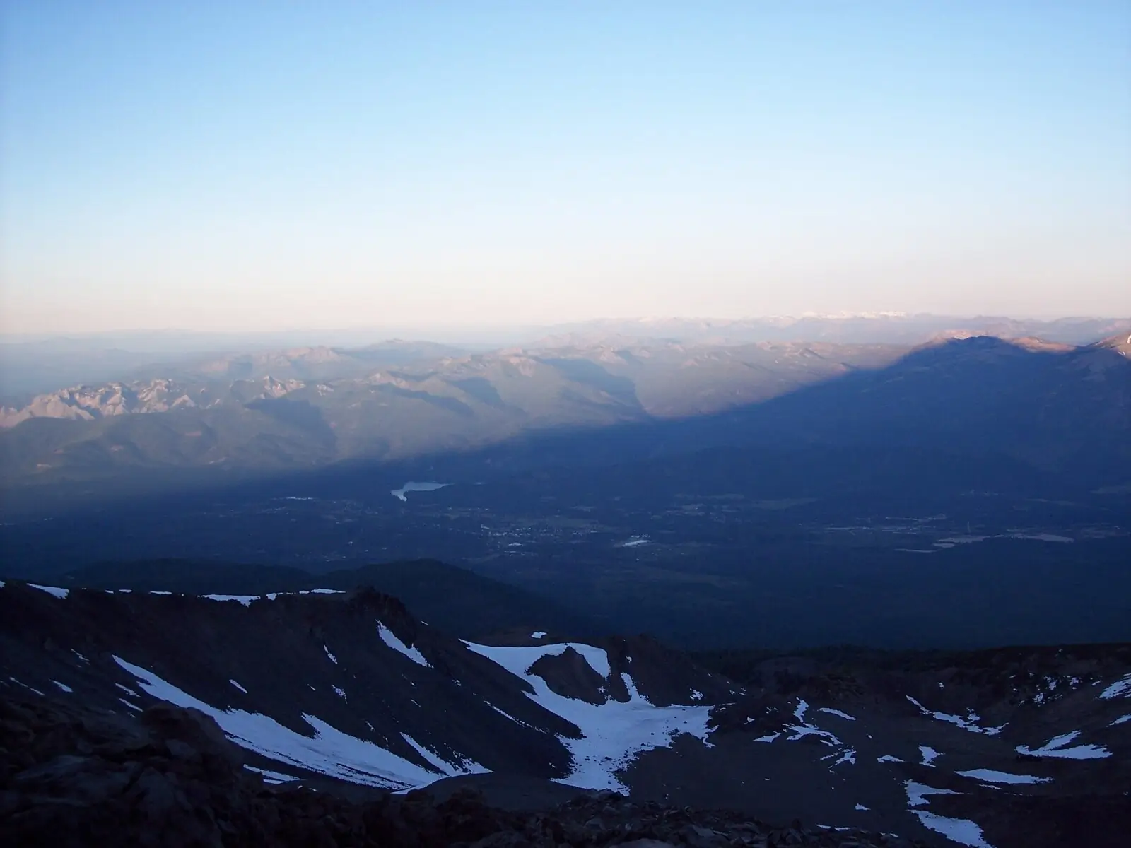
None of this is an argument against using AI for outdoor trip planning. It is an argument against using it the way the August 29 to 31 climbers used it, which was as the final word. AI is genuinely useful for the parts of trip planning that happen before you drive to the trailhead, especially the brainstorming parts.Brainstorming a route skeleton. Ask for two or three candidate routes, with rough mileage and elevation, and you have a useful starting list to take to a ranger. AI is good at this. It is bad at being your only source.Generating a packing list you can edit. A first-draft packing list from AI is faster than starting from a blank page. You will still need to verify it against an actual trip report from someone who did the climb in similar conditions, and the AI list will probably have to lose three or four items that do not belong on a real alpine trip. That is fine.Summarizing agency pages. The Mount Shasta Avalanche Center and the U.S. Forest Service climbing page are dense, technical documents. AI can give you a 200-word summary of a 4,000-word page, which is a good starting point before you read the original. It is not a substitute for reading the original.Building a draft itinerary. A draft itinerary that you then check against NWS point forecasts, the MSAC avalanche advisory, and the W7BR safe-AI planning method is a much safer artifact than an itinerary AI produces alone. The AI gets you to first draft faster. It does not get you to the trailhead.
The Whiskey7Backroads Safe-AI Trip-Planning Method
After working through the August 29 to 31 timeline and reading the Sheriff's Office report against the U.S. Forest Service climbing page and the Mount Shasta Avalanche Center advisories, here is the workflow I would print and stick to the fridge. It is six steps. None of them are novel. The point is the order.
Step 1: AI proposes
Use ChatGPT, Google Gemini, or Claude to draft a trip plan. Route options, packing list, day-by-day timeline, contingency skeletons. Be specific in your prompt: trail name, season, party size, fitness level, vehicle type. A vague prompt returns a vague plan.
Step 2: Official source verifies
Cross-check every AI claim against the managing agency. For Mount Shasta, that is the U.S. Forest Service Mount Shasta Ranger Station, the Mount Shasta Avalanche Center, and the Shasta-Trinity National Forest climbing page. For other peaks, the equivalent local authoritative source exists — land manager, ranger station, or avalanche / climbing-information center where applicable. The Mt. Shasta Ranger Station phone number, (530) 926-4511, is the single highest-value action a planner can take before driving up. Calling the station and asking about current conditions takes five minutes and catches more errors than any other step.
Step 3: Trusted map confirms
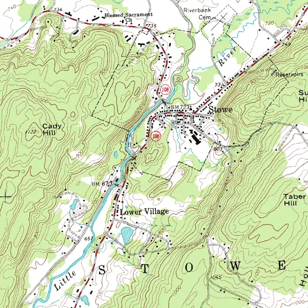
Verify route geometry against an authoritative map source: USGS 7.5-minute quads, an agency-issued wilderness map, Gaia GPS base layers, or CalTopo. Skip AllTrails suggested-route lines. Drop a chatbot-printed map from your pack. Use something other than Google Maps satellite imagery alone. The base map on your navigation app should be one of the trusted sources above, and you should be able to point to the contour lines and confirm the place name.
Step 4: Current conditions checked
Read the live conditions report for the trip date window. NWS point forecast for the actual elevation of your campsite, not the town 30 miles away. MSAC avalanche advisory for the alpine corridor if you are above treeline. InciWeb for fire activity if you are in the West. State DOT for road status. Never assume the AI has accessed the latest authoritative information. Open the actual NWS / USFS / MSAC / state DOT source and verify it yourself.
Step 5: Contingency planned
Have a Plan B that is a route exit, a bail-out point, or an alternate campsite. Have a Plan C that is stay put and wait. Pack for Plan C as the default, because Plan C is what actually happens when Plan A fails on a mountain. The August 29 to 31 group did not have a Plan C. They had a phone and a backup power bank. The phone died.
Step 6: Human decides
The human owns the decision and is accountable for it. AI never signs the trip plan. The alpine climbing rangers on Mount Shasta, including Nick Meyers, are the people in the room when something goes wrong. They are the people who answer the phone at the Mt. Shasta Ranger Station. They are the people whose advice the Sheriff's Office and U.S. Forest Service have publicly aligned with. Use them.
What to Avoid, Specifically
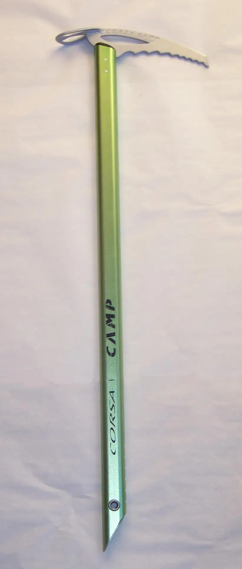
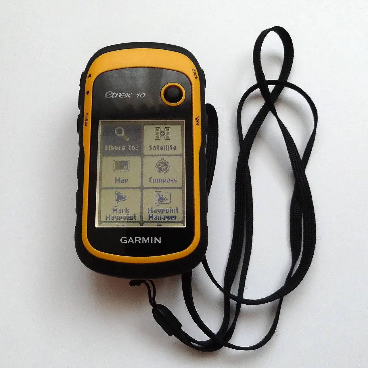
A few patterns from the August 29 to 31 rescue worth naming, because they are the patterns the climbing rangers are now seeing more often.An eight-hour round-trip estimate on a Cascade peak in summer. If AI tells you a Cascade volcano summit is an eight-hour day hike, that is wrong. The climbers' own quote is the cleanest evidence in the public record. Read it before you trust it. An AI-printed paper map. If you cannot verify a place name against an official map, the paper map is not a paper map. It is a chatbot's hallucination in printer ink. Fold it up, do not pack it. A navigation phone as your only navigation. Bring a real GPS receiver (the Garmin eTrex line runs on AA batteries and lasts days), a paper topo map, and a compass. The phone is the third layer, not the first.
An AI-suggested-route line mistaken for an established trail. “Those are suggested routes, not trails,” Nick Meyers has said about AllTrails suggested-route lines. The same is true for any AI-generated route line drawn without access to the actual wilderness trail inventory. A line on a screen is a line on a screen, not a trail. AI-only nutrition advice. If you are going above 10,000 feet for a sustained day, bring fats. The simple-carb-only advice the August 29 to 31 group got is what real climbers call “trail food for a walk in the park.” It is not alpine food. Skipping the ranger station. The Sheriff's Office press release after the rescue said this part last and most clearly: “It is always advisable to call the local United States Forest Service Mount Shasta Ranger station ahead of your trip to ensure you have the most accurate information, and to never rely solely on AI for your trip planning.” The number is (530) 926-4511. It works.
A Pre-Trip Checklist for AI-Assisted Trip Planning
Print this. Tape it to the cooler lid. AI proposed a route. Have I called the ranger station at (530) 926-4511 for Mount Shasta, or the equivalent number for the peak or trail in question? Is the campsite I am planning to use legal under the current wilderness order? Did I read the USFS order page myself, or did AI tell me it is fine? Do I have a paper topo map and a compass, in addition to my phone? Do I have a real GPS receiver or backup navigation that does not depend on my phone? Do I have a Plan B that is a route exit, a bail-out point, or an alternate campsite? Do I have a Plan C that is staying put and signaling for help, with the emergency food, water, and shelter to wait out the night? Have I checked the NWS point forecast for the elevation of my actual campsite, not the trailhead town? Have I checked the avalanche or climbing-information advisory for the alpine corridor? Do I have fats in my pack, not just simple carbs? Do I have a satellite messenger or PLB for the case where the phone dies and Plan C turns into a real rescue?
The Reader Question We All Have to Ask Ourselves
After reading the August 29 to 31 reports and Meyers's account to the Chronicle, the question I keep coming back to is not “is AI bad?” It is “What am I outsourcing?” When AI writes your packing list, and you accept it without checking, you have outsourced the moment you decide what is in your pack. When AI estimates your route time, and you accept it without checking, you have outsourced the call about whether to turn around at noon. If you then pack the AI-printed map without verifying the route against an official source, you have outsourced the call about whether the route exists at all. Those calls are the calls. The ones AI cannot make for you. The ones a climbing ranger cannot make for you at 11 p.m. on the side of a mountain. They are the ones you have to keep.
Sources,
as of the week of September 12, 2026 Primary and secondary sources cited in this piece:— Siskiyou County Sheriff's Office press statement via SFGATE, Sep 2026.— U.S. Forest Service report via Siskiyou Daily News, Sep 2, 2026.— Nick Meyers interview via San Francisco Chronicle, Sep 2026.— Political.org summary of the Siskiyou County Sheriff statement, Sep 6, 2026.— The New York Ledger / Business Insider, Nick Meyers interview, Sep 2026.— Times of India summary of the rescue, Sep 2026.— Yahoo News / SF Chronicle summary of the climbing timeline.— U.S. Forest Service Shasta-Trinity National Forest climbing page.— U.S. Forest Service Mt. Shasta Wilderness recreation page.— Mount Shasta Avalanche Center. Related W7BR coverage:— The 10,000th SOS: What a Garmin inReach Rescue Actually Looks Like, and What I Carry (the companion piece on the rescue-infrastructure side of this story).— When an Oregon Fire Closure Hits Mid-Trip: A Couple's Last-Minute Reroute (the companion piece on rerouting mid-trip when agency orders change).— What I Wish Every July Overlander Knew About Monsoon Flash Floods (the companion piece on weather-window judgment).
About the Author
Brent Conklin
Owner of Whiskey7backroads and avid explorer. I am a Ham Radio extra class operator and frequent the Old Miss Net. I have been married for 37 years to Cheryl, and we have 2 boys and 2 dogs.
View all posts by Brent Conklin →Website →Have fun out there, and check the order before you check the AI. Last reviewed: 2026-09-12.