

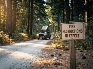
A Stage 1 fire restriction, a washed-out forest road, and unhealthy wildfire smoke can blow up a three-week Oregon trip in a single afternoon. Here is what the couple did instead.
Last August, friends of mine almost lost a long-planned three-week Oregon trip because of three things that hit them on three different weekends, one in each week of the trip. The first was a Stage 1 fire ban in the Deschutes National Forest. The second was a washed-out forest road in the Ochocos. The third was a smoke forecast that put the air at Unhealthy for Sensitive Groups on the western slope. They had the dates blocked off the calendar, the cooler packed, the truck serviced the week before. Two people. One rig. A loaded overland truck with a rooftop tent and a fridge. They told me the story at our kitchen table the week they got home, and I have been thinking about it ever since. With their permission, here it is, week by week, the way they lived it.
If you have ever spent more than a year planning one of these trips, you know that you do not cancel lightly. You reroute.
A short note before the story, because this is supposed to be fun. The forest is for campfire breakfasts and bad coffee and the kid running barefoot in the dark, and the long quiet you can only get in a place with no cell signal. The rules are there because all of us get to enjoy that, and the only way it stays fun is if the people who go treat it like the borrowed thing it is. Stage 1 means a stage 1. A closed road means a closed road. A ranger is not the bad guy, and a fire order is not a personal inconvenience, it is the only reason a place this good is still here to come back to. The trip below was rerouted around a fire order and a washout and a smoke map, and it was still the best three weeks of the year.
The Plan: Three Weeks Across the Oregon Backcountry
Paul and Dana McRae, in their late fifties, live outside Bend. They have been overlanding together for twenty years, mostly in the Oregon backcountry, mostly in the forests east of US-97. The plan they had drawn up for last August was the kind that overlanders look forward to every summer. They would pull into a reserved campsite at Crane Prairie on a Thursday in early August, work their way south into the Deschutes, loop east toward the Ochocos and on to the Malheur, then turn back west for the last week. Every campfire was supposed to be in a developed site. They had a couple of developed nights booked and the rest were going to be dispersed, if the order let them.
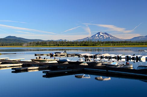
The way they had planned it, the main risk they were watching was weather. August in central and eastern Oregon can be hot and dry, but they were experienced enough to know how to read a forest order, how to plan for a 14/28 BLM dispersed stay, and how to read AirNow before they left the campsite each morning.
By the time they pulled into the Crane Prairie campsite on Thursday in early August, the Mt. Hood National Forest had been under fire restrictions for almost a month, and the Deschutes and the Ochocos had joined the list in the days before. They had read the Stage 1 orders for the forests on the route before they left home. They knew what was allowed and what was not. So far, the plan still worked.
Week 1, Days 1 to 7: The Deschutes and the First Ban
Days 1 through 3 went the way they had drawn it up. They ran from Crane Prairie south into the Deschutes, camped at a developed site near Sisters, and spent two nights dispersed along the Metolius. The air was clear. The orders were tight but livable. They could have a campfire in a developed ring, and they did, twice. The smoke maps looked clean.
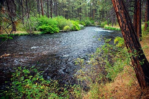
By day 4 they were running east toward the Ochocos. The Ochoco was under Stage 1 as well, but the dispersed limit was still 14 days, and they had read the order the night before. They found a quiet dispersed site off a forest road north of the reservoir, set the rooftop tent in the dark, and watched the moon come up over the rim. It was the kind of night the trip had been built around.
Days 5 and 6 were the long swing east. They ran the forest road south toward Prairie City, then looped back north on the highway with the windows down. The smoke maps were still clean. The truck was running well. The fridge was still cold. They re-read the orders at a developed site in the Malheur and decided, again, that they were on schedule.
Day 7, Saturday: The First Obstacle — Stage 1 Enforcement on a Dispersed Site
Saturday morning, the second day of the second week, they pulled out of the developed site at the Malheur and ran back west into the Ochoco for a second night of dispersed camping, this time on a different forest road, the way they had drawn the plan. They aired the tires down, set the rooftop tent in the late-afternoon shade, and walked the road before dinner with the AQI app open. The air was clean. The order said dispersed camping was still allowed. They made a quick dinner on the slide-out and turned in early.
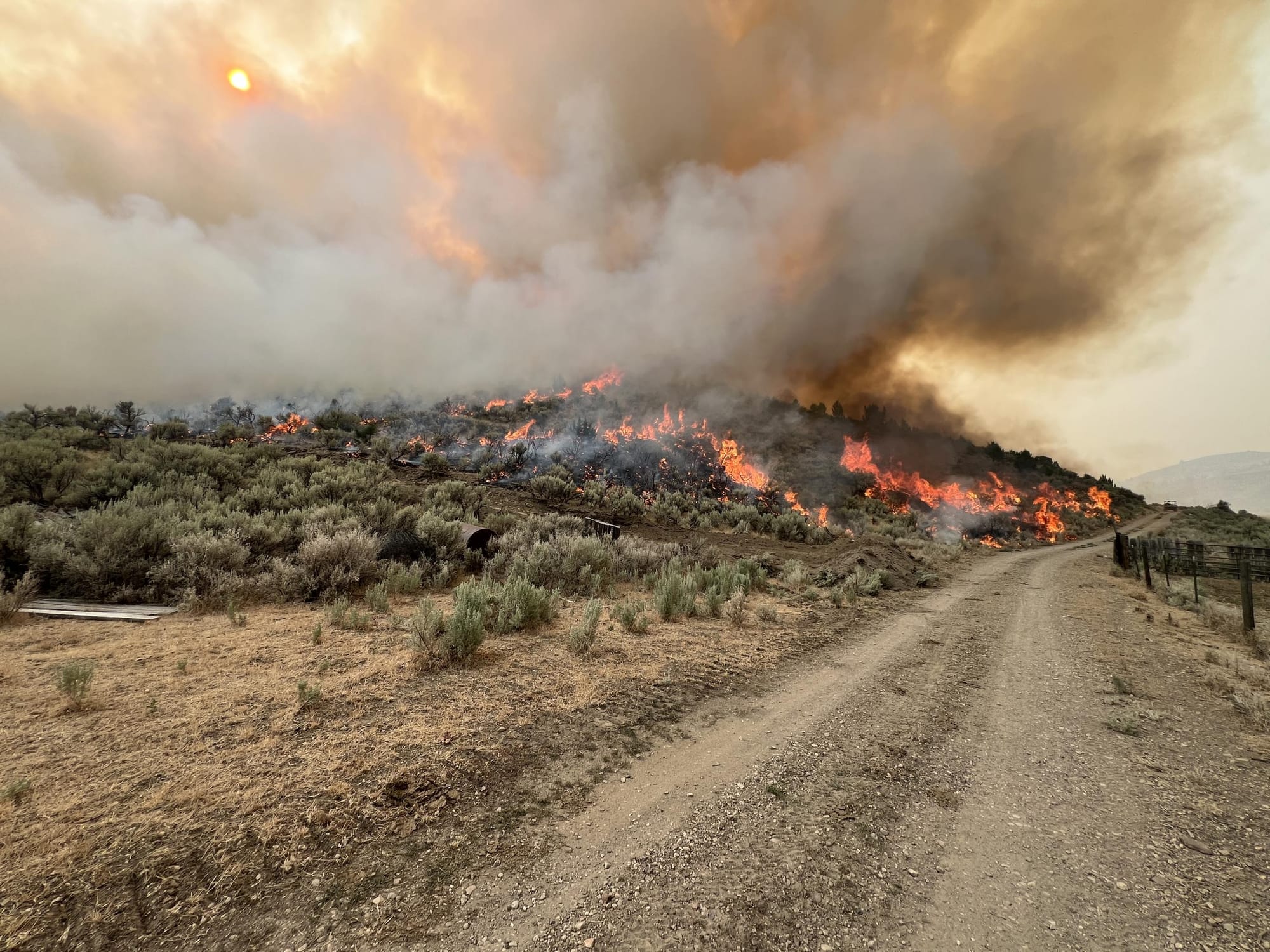
At ten p.m. the ranger showed up. He was polite, but he was not there for the view. He had seen the truck on the road and walked in. The order, he said, had been tightened the day before. The fire behavior on the nearby lightning-caused fire had crossed a threshold, and the forest supervisor had moved the order up a notch. Dispersed camping was closed inside the active perimeter. They were, in the ranger’s words, on the wrong side of the line. They broke camp in the dark, aired the tires back up at the truck, and pulled back to the road.
They were not cited, and the ranger wished them a good night, but the trip had just lost its first dispersed site. They drove forty minutes to a developed site in the Ochoco, plugged in, paid the fee, and took showers before going to bed. The first obstacle of the trip had cost them a night, a campsite, and the quiet dispersed night they had driven out for. It had not cost them the trip. They had three weeks of plans on the truck, and one of those plans was a developed site they could fall back to anyway.
What they learned that night is the first thing on the list I would print for anyone heading east of the Cascades in August: Stage 1 orders tighten fast. The order you read at home the week before is not the order you are driving into on day seven. Read the order again that morning, and again that night, before you set up. The forest supervisor can move a Stage 1 to a Stage 2 in a single afternoon, and a Stage 2 to a closure in the same afternoon. We do not need to be afraid of the forest. We need to be reading the order.
Week 2, Days 8 to 14: Back West and the Washout
Days 8 through 10 were a slow loop west through the Deschutes. They ran the Metolius again. They ran the Sisters loop again. The orders were still in place. The air was still clear. The plan was still on the rails, with one scar in week one.
Day 11, Wednesday: The Second Obstacle — The Washout on NF-12
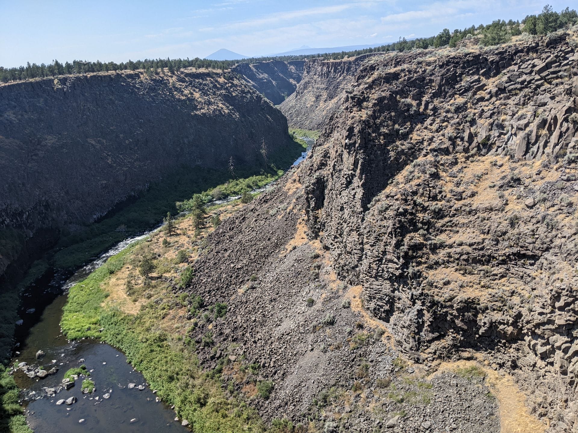
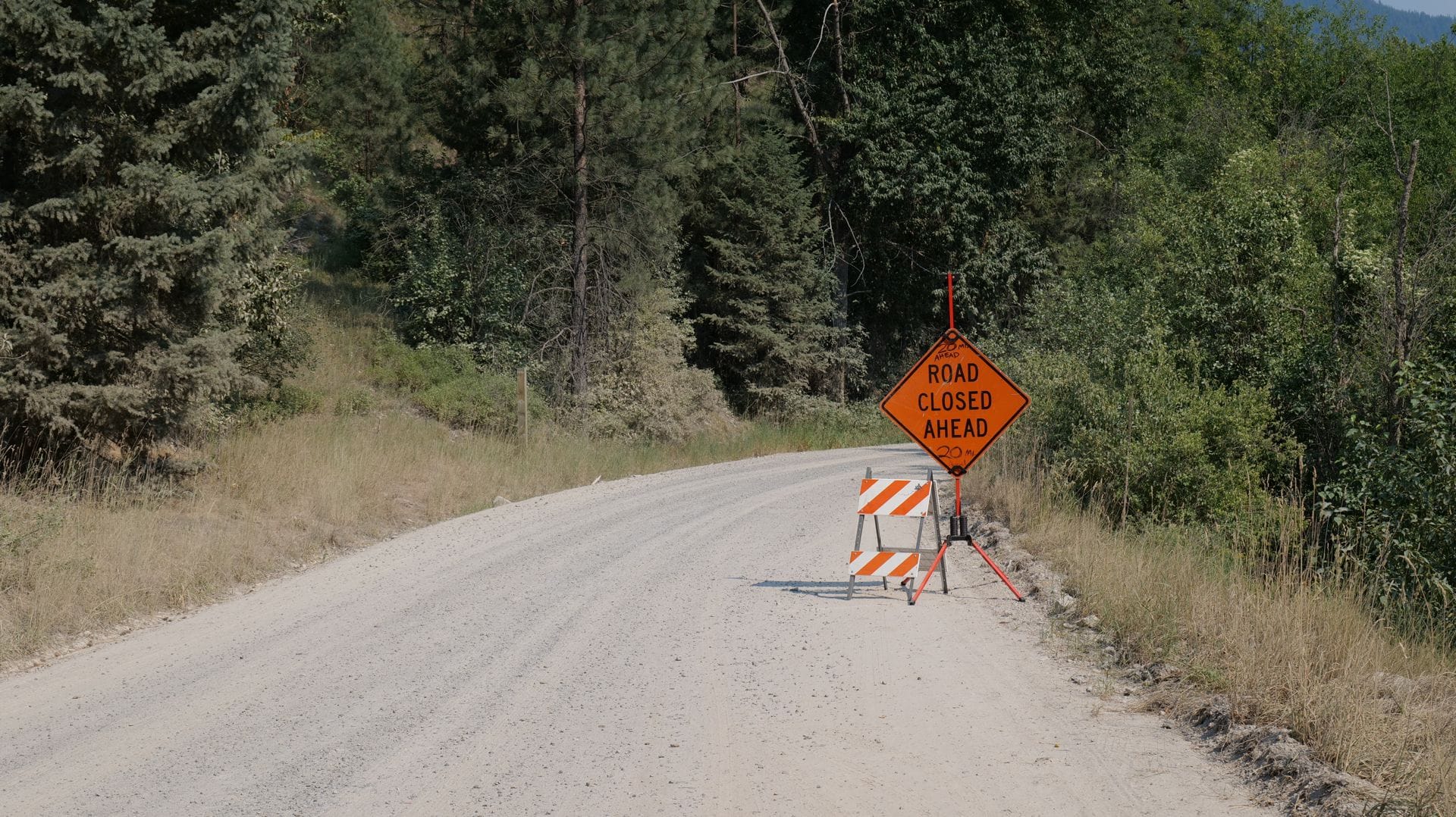
Wednesday morning, day four of the second week, they broke camp at a developed site in the Ochoco and ran back west toward the Mt. Hood country for the planned run along the Crooked River. About an hour into that drive, they came around a corner to find a forest road washout that the GPS had not warned them about. A culvert had failed in a storm two weeks earlier. The road was closed at a gate, with a ranger handwritten sign that said, in ink, NO THROUGH TRAFFIC.
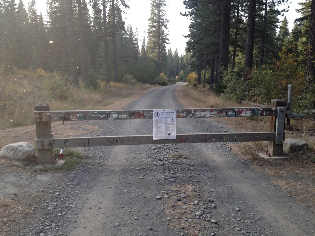
Paul had been on that same road two summers earlier. He was used this part of the country so he had his guard down a little and did not see the gate until they were on top of it. They pulled into a gravel pullout and looked at the map. The washout was not a five-minute reroute. The detour would put them on a paved highway for fifty miles, which was not the trip they had drawn, and it would keep them out of the planned run along the Crooked River for that night, which meant they would lose the developed site they had booked for Wednesday night. They were tired. They were a long way from the Mt. Hood country. The trip had just lost another plan.
They made a quick call. The detour was the only way back to the Mt. Hood country without a backtrack, and the Mt. Hood country was where they needed to be to reset for the last week. They took the detour. It was the second obstacle of the trip, and it cost them a night of camping and a stretch of forest road they had wanted to drive. It had not cost them the trip. They had a developed site reservation waiting in the Mt. Hood country, and the detour would put them there by sunset. They could spend days 13 & 14 re-provisioning and checking maps.
What they learned that afternoon is the second thing I would print: The roads close without warning. Not the highway. The forest service road. The one you have driven twice before. The one you were planning to drive tomorrow. The washout, the downed tree, the active fire line — none of them call ahead. The fix is the same: have a detour, have a paved option, and have a developed site reservation that does not depend on the back-road being open.
Week 3, Days 15 to 21: The Coast, the Smoke, and the Last Few Days
Days 15 and 16 opened with the same calm. They ran the Mt. Hood country reset, ate at the same overlook, and turned back east on the highway. The orders were still in place. The smoke maps were still clean. The trip was six days from home, and the plan was still on the rails, with two scars in weeks one and two. That was the last clean morning. By midmorning of day 16, the smoke maps were not clean anymore. The forecast had changed overnight, and the rest of the week was going to be about air.
Day 16, Monday: The Third Obstacle — The Smoke on the Western Slope
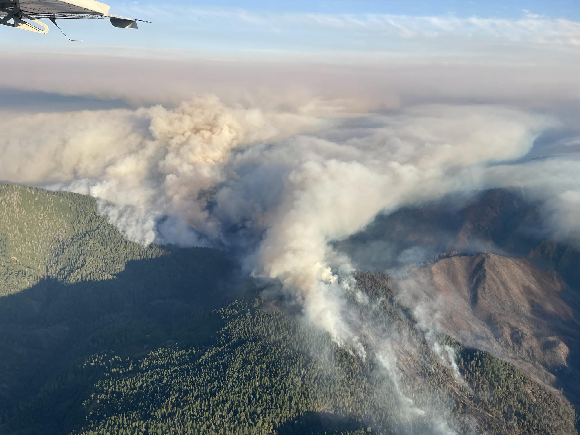
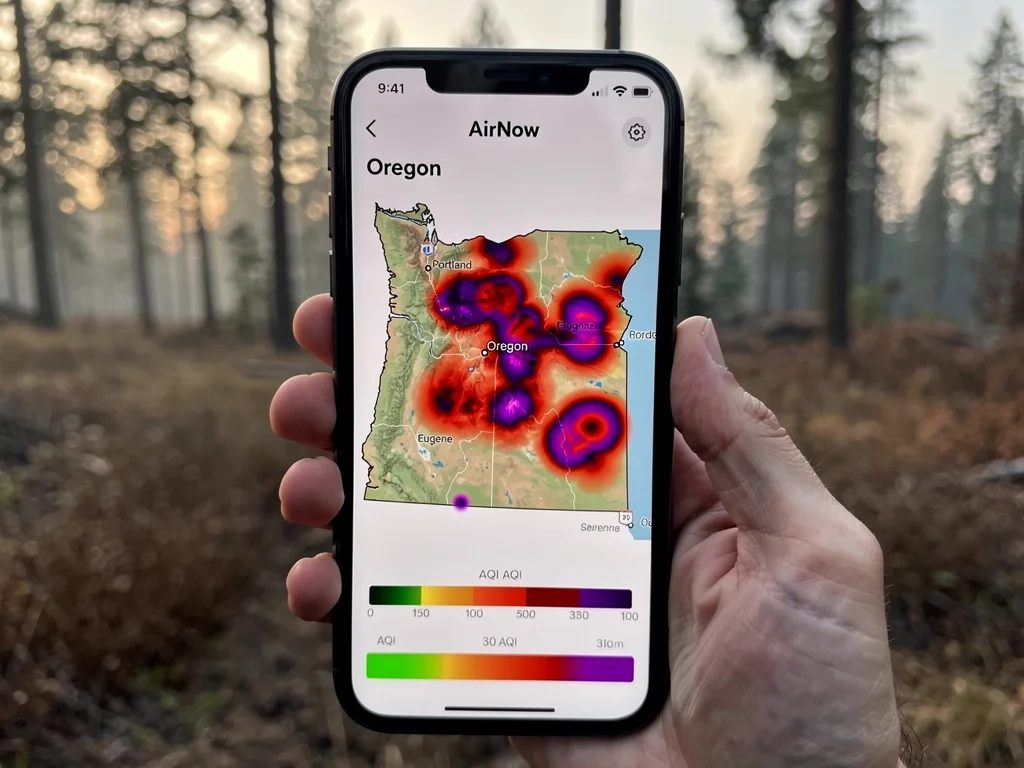
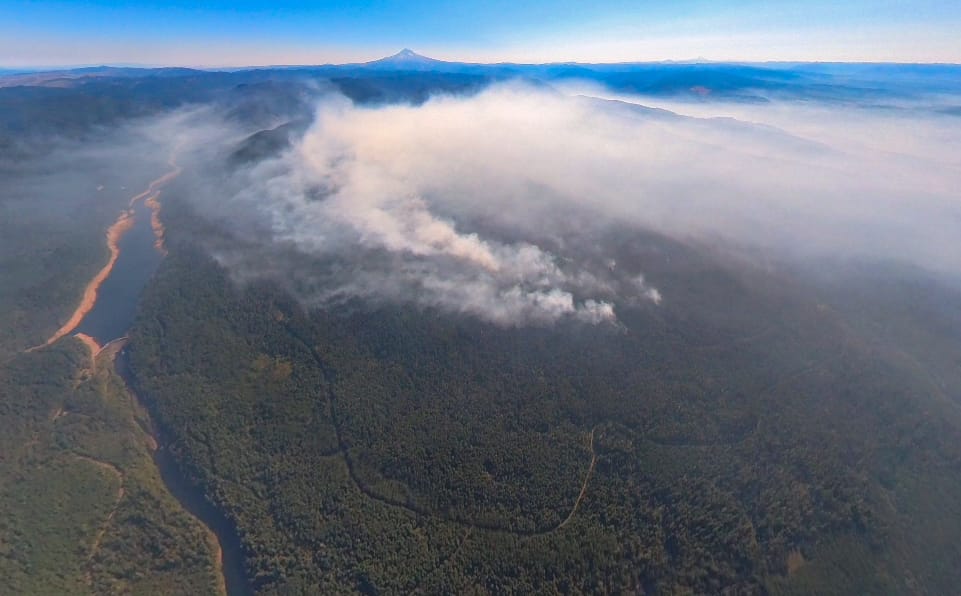
Monday morning, day one of the third week, they broke camp at a developed site in the Mt. Hood country and ran west on the highway toward the planned run along the coast. The smoke maps had been clean for two weeks. By midmorning, the maps were not clean. The forecast had changed overnight. A lightning-caused fire on the western slope of the Cascades had blown up in the dry timber, and the smoke was already at the coast. The air at their planned lunch stop was Unhealthy for Sensitive Groups. The air at their planned camp for the night was worse.
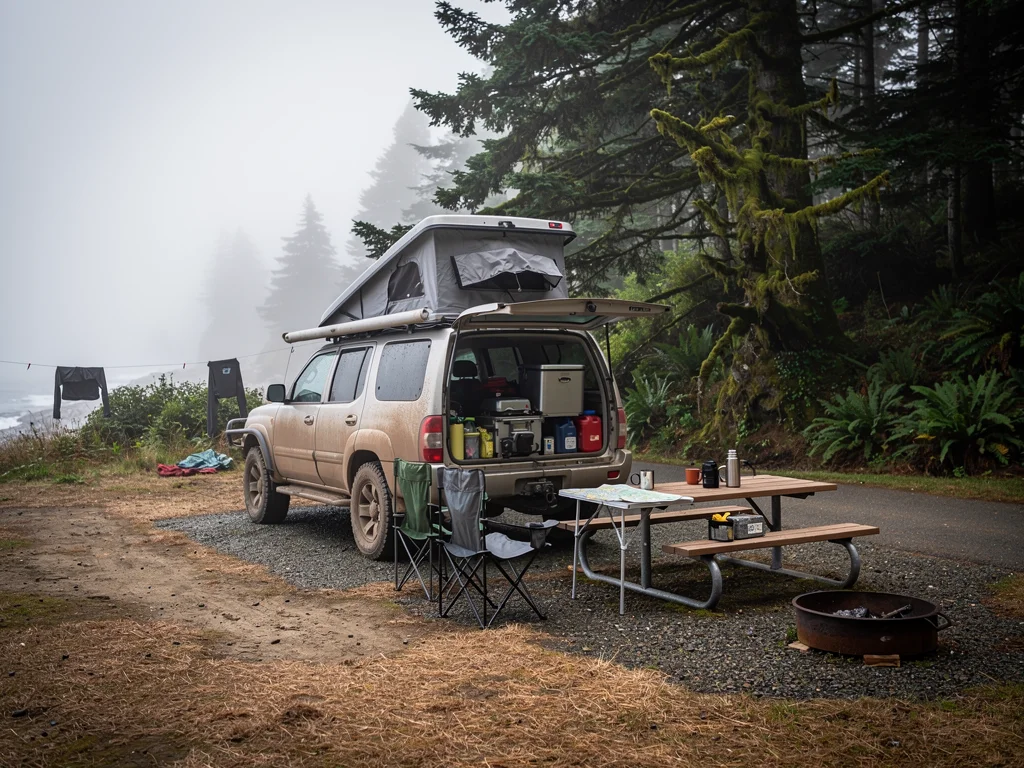
They pulled into a state-park campground on the Oregon Coast that they had used years before. The site was open. The air was moderate. The hookups were working. They plugged in. They had a real shower for the first time in days, and spend the rest of the evening checking maps and air quality monitors.
They were not, to be clear about this, panicking. They were rerouting. The smoke map was the third obstacle of the trip, and it had cost them a planned night of camping on the coast and a planned run along the western slope. It had not cost them the trip. They had a developed site waiting in the Mt. Hood country for the last few days, and the smoke was forecast to clear by the weekend.
What they learned that night is the third thing I would print: The air can change overnight. The smoke map you read at home the week before is not the smoke map you are driving into on day 16. The smoke from a single lightning-caused fire can change the air for fifty miles in a single afternoon, and the air can stay bad for a week. The fix is the same: have a developed site reservation that does not depend on the air being clean, and have a Plan C that is not a forest.
Days 17 to 21: The Loop Closes
Tuesday they spent the day on the coast. Wednesday they ran back east. The smoke cleared by Thursday, and they ran the planned loop west through the Mt. Hood country for the last time. They re-ran the Metolius on Friday. They broke camp at Crane Prairie on Saturday morning at first light, aired the tires back up to 50 psi, and pointed the truck home. The fridge was still cold. The cooler was still cold. The order in the windshield was still in the windshield.
They pulled into the driveway at four in the afternoon. The trip was twenty-one days long, the longest trip they had ever taken, and the most expensive. The trip was not the trip they had planned. It was a different trip, three weeks long, with three obstacles: a tightened Stage 1 in week one, a washed-out forest road in week two, and a smoke forecast that moved the coast run in week three. They had the data for all three now, which is the only kind of answer that matters.
It also helped that nobody tried to cook a steak on a campfire in a national forest that was in Stage 1 restrictions. If you have ever been around a campfire that is in violation of a USFS fire order, you know that the person on the other end of that ranger radio is not having their best day at work, and neither are you. The two hardest things to do in a forest under Stage 1 restrictions are to put the steak back in the cooler and to read the order out loud before you make a decision. Do those two things and you have saved yourself a ticket that will not live forever on the USFS enforcement record.
The Six Lists You Should Print Before You Leave
I will not pretend to know what the right plan is for your trip. But here is the list my friends had in the truck, printed, the night before, by someone who has been through this kind of week.
The order, by forest and ranger district. I print the relevant Mt. Hood alerts, the Deschutes alerts, the Willamette alerts, the Ochoco alerts, the Malheur alerts, the Wallowa-Whitman alerts, the Umatilla alerts, and the BLM Oregon fire page. Eight pages. Maybe twenty minutes.
The roads, by name. Not the highway, the forest service roads in the area. The big washouts this year are real, the closures are signed, and the back-road detour you have used twice before may not be open. The TripCheck page is also worth printing.
The air. AirNow Fire and Smoke is the live source. The Oregon DEQ smoke page tracks Oregon specifically. The two together tell you where to go and where to leave from.
Know the developed sites. recreation.gov has them. If you cannot afford a one-week trip to fall apart because of a closure, you can afford a recreation.gov reservation for a couple of nights, in three forests, on three different days. That sounds expensive. It is cheaper than cancelling.
Have one bad-weather Plan B that is not a forest. State park, friends driveway, KOA, anything paved with a hookup. The point of Plan B is to get out of the smoke, not to find the same experience you had planned.
Have one bad-smoke Plan C. The coast, the mountains, the high Cascades west of Bend. Pick one. AirNow tells you which.
That is the list. It is not the plan. It is the bones of a plan, the kind you can rebuild at 9 a.m. in a forest road pullout. That is the whole point of carrying a paper map.
Frequently Asked Questions
What is Stage 1 fire restrictions on a national forest? Stage 1 is generally the first level of seasonal fire restrictions, but the details vary by forest and order. Some orders limit campfires, smoking, charcoal, or spark-producing equipment while leaving certain developed sites open; others are stricter. Read the current order for the specific forest before you travel. Stage 2 adds restrictions in many jurisdictions.
Can I still dispersed camp in a Stage 1 area? Do not assume you can. Some Stage 1 orders restrict dispersed camping or close specific areas, while others do not. Read the current order and closure map for that forest. You may be able to pass through a road that you cannot legally use for camping.
Where can I find a live list of Oregon forest road closures? Each national forest publishes its own alerts page. For Oregon, the USFS alerts index lists the Mt. Hood, Deschutes, Willamette, Ochoco, Malheur, Umatilla, Wallowa-Whitman, Rogue River-Siskiyou, and Siuslaw forests, plus the BLM Oregon/Washington state office. The Oregon DEQ smoke page tracks smoke and AQI.
Is the smoke on the Oregon coast really better than in the mountains? Most of the time, yes. The marine layer and onshore flow keep the coast cooler and cleaner. The exception is when a major fire is right on the coast, in which case the smoke is everywhere.
What PM2.5 or AQI level is safe for outdoor activity? Use the current AirNow AQI category and follow the health guidance for the people in your group. Children, older adults, and anyone with heart or lung conditions may need to reduce exposure sooner than healthy adults. Conditions can change quickly near wildfire smoke, so check the map again before driving, camping, or exercising. The AirNow AQI basics page explains the color codes.
Do I need a satellite messenger for an Oregon overland trip? Not a strict requirement, but a high-value one. Smoke, road closure, and a real phone call to a friend can all be sorted out with a cell signal and a paper map. A medical emergency or a stuck rig in a remote drainage is not. The Garmin inReach line is the most common for overlanders.
Where can I check the AQI for the place I am about to drive to? AirNowAirNow Fire and Smoke Map has current conditions for the entire US. The Oregon DEQ smoke page tracks Oregon specifically.
What is the right thing to do if I have to turn around? That is a small word for a difficult decision. The cost of turning around is a delay. The cost of not turning around is a fine, a permanent USFS enforcement record, and a fire.
If mid-trip reroutes are your kind of problem, the USFS fire restrictions hub is the page you will want to read before every Oregon overland trip. Print it. Stick it on the fridge. The next time you drive past a closed forest gate, you will not be guessing.
Have fun out there and know when to detour and reroute
Thanks for reading and supporting our blog
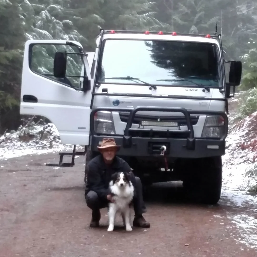
About the Author
Brent Conklin
Owner of Whiskey7backroads and avid explorer. I am a Ham Radio extra class operator and frequent the Old Miss Net. I have been married for 35 years to Cheryl and we have 2 boys and 2 dogs.