

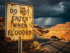
Southwest monsoon flash flood overland safety: the NWS TADD rule, watch vs warning, when to turn around, and a pre-drive checklist every overlander needs.
Every July I start seeing the same posts in overlanding forums: "heading to southern Utah next week, anything I should know about monsoon season?" Southwest monsoon flash flood overland safety is the single most important thing to plan for between late June and mid-September across Arizona, New Mexico, southern Utah, and the desert Southwest — and the rain you see is rarely the rain that gets you.
I want to start with something that has rattled me for years, not because I want to relive it, but because the people I meet at trailheads every July seem to think it can't happen to them.
Here is the scenario I have watched happen more times than I can count. A rig pulls into a wide gravel wash south of Flagstaff about 4 p.m. Skies to the west are slate. The driver figures there is time. Pulls forward another 200 yards onto what looks like the driest sand in the canyon, sets the camp stove, cracks a beer. Twenty minutes later, water is lapping at the rear differential.
What the monsoon actually does to the desert
The North American monsoon pushes moisture north from the Gulf of California and the Pacific every summer. NOAA calls it a seasonal pattern shift rather than a storm, which is why the forecast tends to underplay it. From late June through mid-September the upper atmosphere holds deep tropical moisture over Arizona, New Mexico, southern Utah, southern Colorado, and far west Texas. The ADOT's AZ511 real-time traffic map and the ADOT monsoon driving tips tracks road closures in real time during flood events, and New Mexico DOT's road conditions map does the same for that state. Most afternoons produce a thunderstorm somewhere in that region. Heat and terrain conspire to wring the moisture out fast.
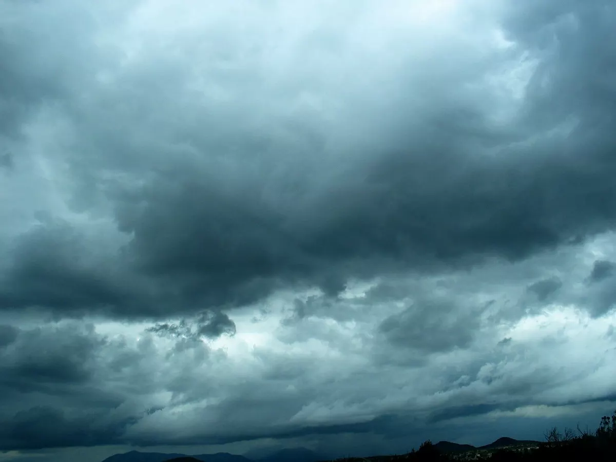
The rain you see in front of you is not what floods you. The National Weather Service warns that flash flooding can occur miles from the storm. A cell ten miles upstream, over terrain you cannot see, can deliver a wall of water to your campsite within minutes. The NWS Phoenix monsoon safety guide is blunt about this: never camp or park in a wash, even if the sky above you looks fine.
You usually hear a flash flood before you see one. A roar in a canyon that was quiet five minutes ago is your cue.
What two feet of water actually does
The National Weather Service publishes the Turn Around Don't Drown rule every spring. The numbers are not opinions. They are averages across a large body of fatal incidents:
ADOT Communications, in their response to a reader inquiry about this article, put it more directly: even if a flooded wash does not look deep, just a few inches of running water poses a serious risk. Driving around a 'road closed' sign is against the law under ARS 28-910, and drivers can be cited and fined to pay any entity that incurred expenses in the rescue. The real-time fix for the next storm is the AZ511.gov map and the AZ511 mobile app, which carry statewide highway cameras and live closure data
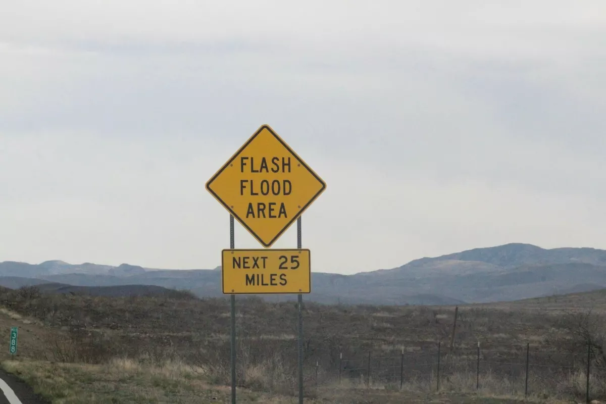
- About half of all flood-related drownings involve a vehicle driven into hazardous floodwater.
- 6 inches of moving water can knock an adult off their feet.
- 12 inches can carry most cars.
- 2 feet of moving water will carry away SUVs and pickups.
Read that again. Two feet. The depth of a kitchen countertop. The current does the work, not the depth. A 3-ton truck has about a 50 percent chance of staying put in 2 feet of slow water; in 2 feet of fast water it has no chance at all.
I tell people that number on every camp setup. It is the one stat they remember.
Watch versus Warning, and why it matters
This confuses almost everyone the first time. The NWS flood safety page draws the line clearly:
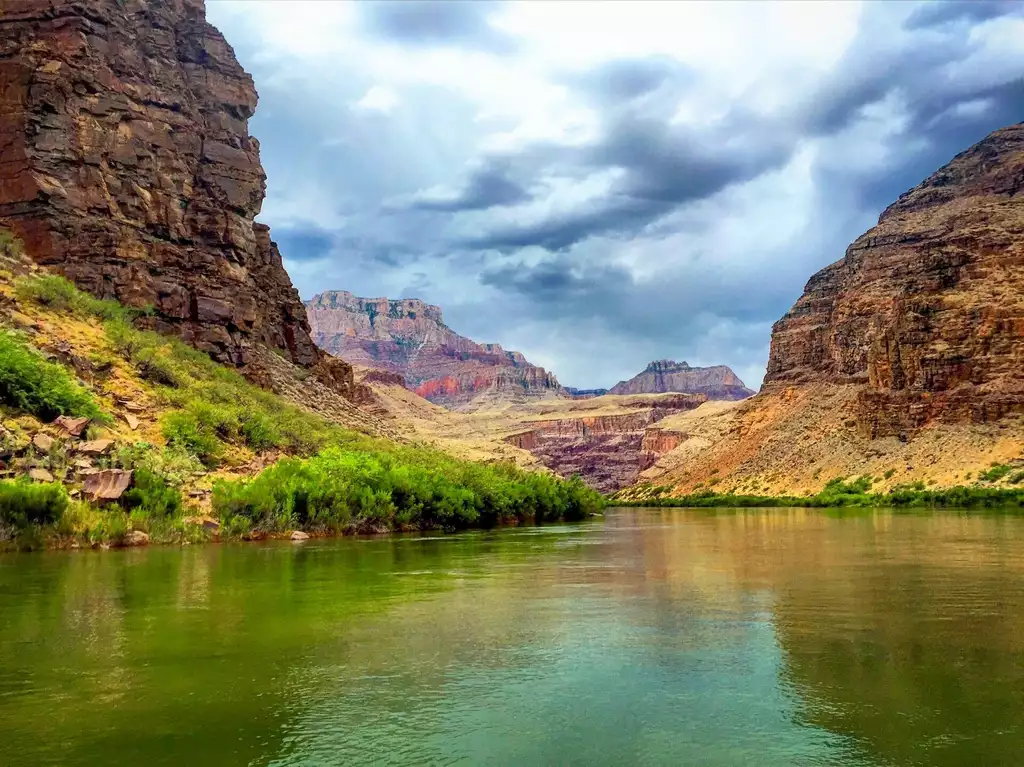
- Flash Flood Watch means conditions are favorable for flash flooding. Be prepared to move. Pick your high ground now. Decide what gear stays and what goes.
- Flash Flood Warning means flash flooding is happening now or imminent. Move to higher ground immediately. Do not try to retrieve gear.
A watch is your planning window. A warning is your movement clock. If you wait for the warning to decide where to go, you have already lost the option. Pick your high ground before the watch becomes a warning.
Why people drive in anyway
If every overlander knows the rule, why do the deaths keep happening? The NWS campaign materials are blunt about why. Drivers report three answers most of the time:
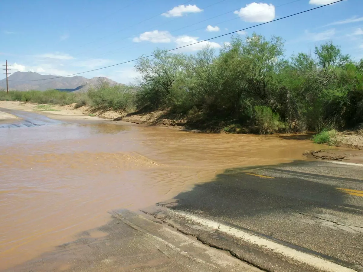
- "I have made it across before." Most washes that kill people ran clear for years before the year they killed somebody. The shape of the drainage does not change. The weather does.
- "The water does not look that deep." Depth is not the variable. Current is. Six inches of fast water is more dangerous than three feet of slow water, and people who drive in are guessing current by eyeball. The FEMA National Risk Index for riverine flooding maps the counties where flash flood risk is highest — every major Southwest overlanding corridor lands in the top tier.
- "I just need to get across quickly." Speed does not save a vehicle from debris wedging against a tire or a culvert. Speed does not save a driver from a washed-out road surface.
Most overlanders know the rule. They back in anyway. The fix is one move: reverse the moment the road surface disappears under the water.
Backing out of a rising wash is its own skill. People panic, drop into a low gear, and drive straight into deepening water because reversing feels like retreat.
The rule I run by: if the road ahead crosses a wash with running water and I cannot see the road surface through the water, I stop. I do not test the depth. I do not drive in to "see how bad it is." I back up the way I came, find the nearest high ground, and park there.
BLM Utah's flash flood safety page is built for this exact moment. Two takeaways that every overlander should memorize:
- Never drive around a barricade. Barricades are placed where the road surface may be washed out and hidden.
- If you cannot see the road, do not guess where it is.
The principle generalizes: if a road looks like a lake and you cannot see the asphalt under the water, the road is no longer a road. It is a low spot in the drainage.
Reading the sky, the canyon, and the wash
The NPS Zion flash flood page has the most useful field checklist I have seen. Five warning signs, in this order:
- Storm clouds building, even if they are far away.
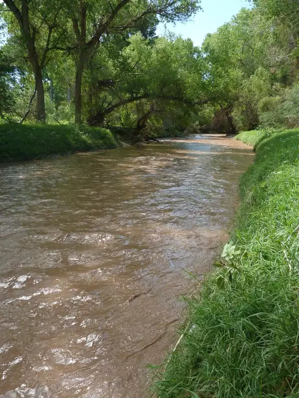
- Water in the wash changing color — going from clear to chocolate brown means sediment is being picked up upstream, which means real flow.
- Water rising, even slowly.
- Floating debris — sticks, branches, leaves moving past you. Debris means the water has enough energy to move solid objects.
- Increasing roar upstream — the noise of a flood is audible long before the water arrives. If you hear it and have not heard it before, treat it as your final warning.
The NPS Capitol Reef page adds another one that bites people every year: less than half an inch of rain in an hour, on terrain west of where you are, can deliver a flash flood to the canyon you are in. Storms far away flood canyons where no rain is falling. There is no safe distance when you are camped in a drain.
When you turn around
Monsoon driving is binary. Forward or back. If you cannot see the road, do not drive forward. Your lift kit will not save you.
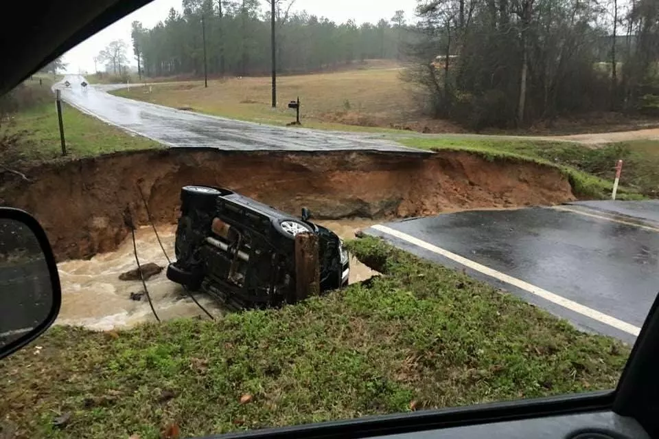
Backing out takes longer than driving through. That is the point. The time you spend backing is the time the water needs to peak.. If you back out and the water rises an hour later, you made the right call. If you back out and the water never rises, you still made the right call. Ten minutes is cheap. Your truck isn't.
Picking a camp that does not flood
Three rules, all hard:
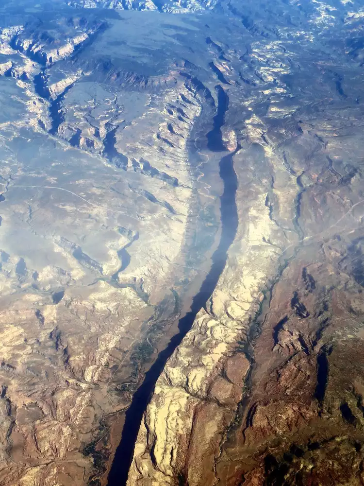
- Pick high ground first, then aesthetics. Wide flat sites in a wash bottom are the worst place to camp during monsoon season, no matter how nice the gravel looks.
- Set up on a shelf above the active channel. A wash may not have water in it right now. It will have water in it later.
- Know where you go if it floods. Pick your escape route before you pitch the tent. The escape route must climb. A 30-foot elevation gain within 50 horizontal feet is enough to outrun most flash floods. If your camp does not have that option nearby, your camp is in the wrong place. The USGS StreamStats tool can show you the drainage area upstream of any point on a map, which tells you how much terrain is feeding the wash you are parked in. The National Weather Service alerts page publishes county-level flood alerts that cover BLM and Forest Service land.
I have moved camps twice this season because the spot I picked was nicer than it was safe. Both times the move was the right call.
What to do if you are trapped
This is the worst-case section and I hope nobody reading this ever uses it.
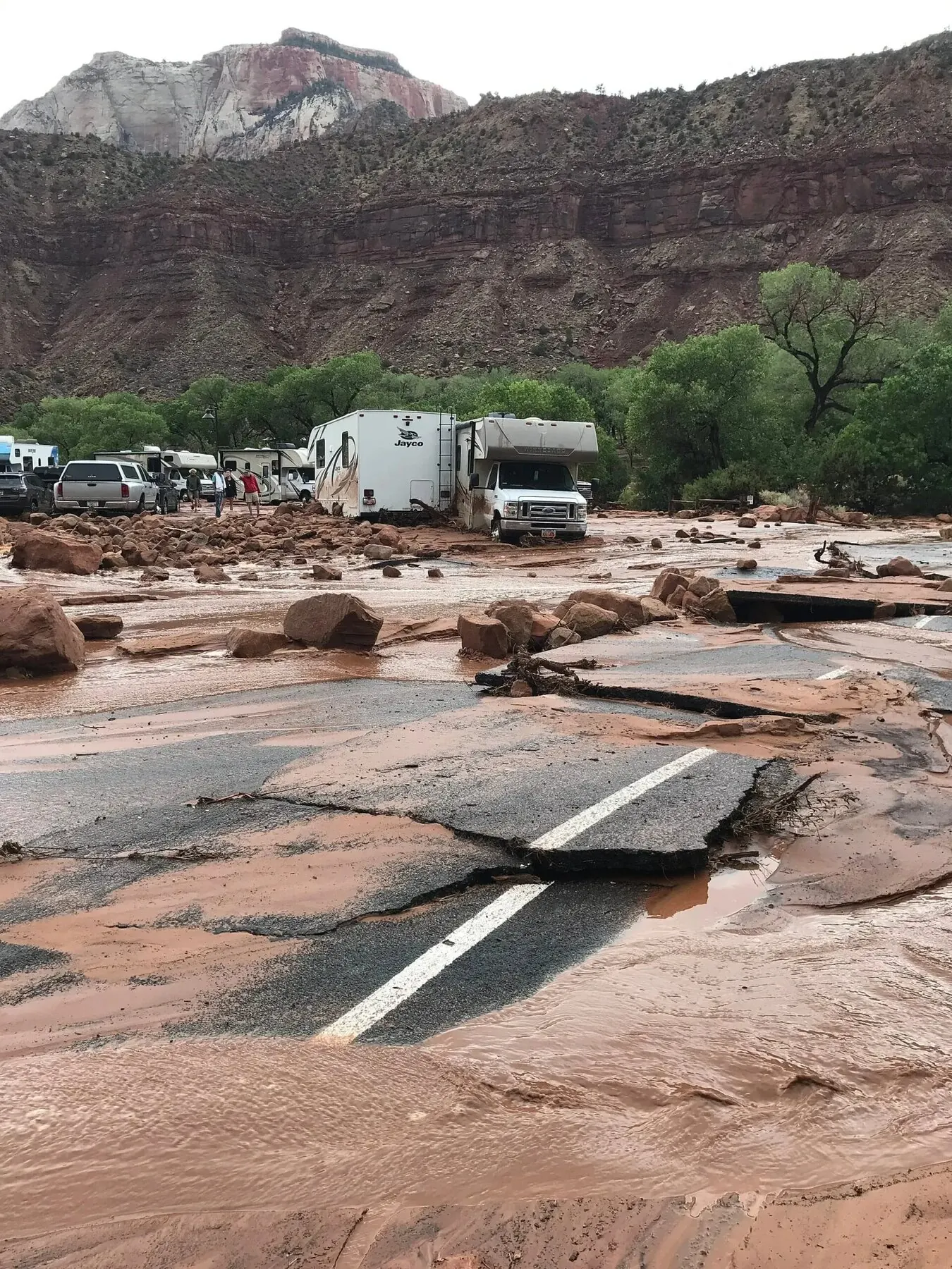
If your vehicle is caught by rising water and you cannot back out, Ready.gov's flood page advises:
- Do not stay in the vehicle. Most flood deaths happen inside vehicles.
- If you can climb out of the vehicle and reach high ground, do it now. Do not gather gear. Do not close windows. Get out and get up.
- If you cannot escape the vehicle, brace yourself against the seat and wait for water to stabilize. The window may need to be broken as the water rises. Carry a window breaker on your keychain. A center-punch style glass breaker costs ten dollars and works in seconds.
A few pieces of kit earn their weight during monsoon trips: a glass breaker/seatbelt cutter on every keychain, a tow strap rated for your vehicle weight, and a satellite messenger that does not depend on cell coverage.
The Half-Day Rule: Timing Your Monsoon Backcountry Driving
If you are driving backcountry roads during monsoon season, plan for the late afternoon to be off the road. Most flash floods in the Southwest happen between 2 p.m. and 8 p.m. The earlier you set up camp and the later you break camp, the more margin you keep.
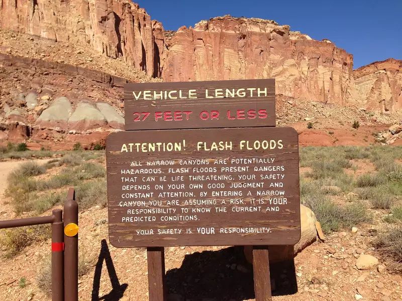
I try to be parked by 2 p.m. and not driving again until the next morning. That single rule keeps me out of more trouble than any other habit I have picked up.
Your lift kit won't help
I want to push back gently on the "I have a snorkel, I have lockers, I have a winch" thinking. A vehicle's lift does not change what floodwater does. A few reminders:
- The road surface may be washed out underneath the water. You can drive into a hole with no warning. Lift does not help. A winch does not help. Snorkels do not help if the cab fills with water.
- Debris in moving water can wedge your vehicle against a tree, a culvert, or another piece of debris. That is how most vehicle deaths start.
- Upstream runoff can add water faster than your engine bay pumps it. By the time you are chest-deep in your rig, you are inside a boat with a steering wheel.
Your rig is built for terrain. Floods are not terrain — they are moving rivers that do not negotiate with brake pads. Drive like you remember that.
The pre-drive checklist
I tape this to the inside of my dash during monsoon trips. Saves my own life every July.
Weather
- [ ] Check the NWS forecast for the area, including monsoon hazards and flood watches.
- [ ] Check radar on my phone for the next few hours. Bookmark the NWS radar.
- [ ] Note the upstream terrain from my planned route and look for cells in those basins.
Route
- [ ] Pull up satellite view of every wash crossing on the planned route.
- [ ] Identify the high ground at each crossing.
- [ ] Locate turn-around points where I can back out without backing into a worse spot.
Camp
- [ ] Confirm the campsite is on a shelf above the active channel.
- [ ] Confirm there is an escape route that climbs within 50 feet.
- [ ] Move camp if the answer to either question is no.
Gear
- [ ] Glass breaker/seatbelt cutter on keychain.
- [ ] Satellite messenger charged.
- [ ] Tow strap accessible.
- [ ] First aid kit near the cab, not in the back.
Mindset
- [ ] No "I have time" thinking after noon.
- [ ] No driving through water where I cannot see the road.
- [ ] No gathering gear if a warning hits. Move first.
Where this rule came from
The "Turn Around, Don't Drown" campaign has been the NWS flagship safety message since the mid-1990s. Hundreds of people die in flash floods every year in the United States, and most of those deaths are preventable. Most happen because the driver thought they had time.
I am writing this because I want next July to have fewer of those headlines.
Pick your high ground before you need it. The water will not wait.
What ADOT told us
I asked ADOT Communications whether they had a pull-quote that would strengthen the pre-drive checklist section. They did. Their guidance on what to actually do when a dust storm is up ahead on a Southwest highway, in full:
If a dust storm is up ahead, the safest thing to do is to not drive into it. If you're unable to exit the highway before the dust storm hits, pull off the paved portion of the roadway, set your emergency brake and turn off all vehicle lights and wait out the dust storm.
The full Pull Aside, Stay Alive guidelines from ADOT and the Arizona Department of Public Safety live at pullasidestayalive.org. If you are not yet on AZ511 in your phone before monsoon season starts, do that now: az511.gov or the AZ511 mobile app. Both carry statewide highway cameras and live closure data.
Thanks to ADOT Communications for the information and links above.
Image credits
- Monsoon safety guidance and Pull Aside pull-quote: ADOT Communications, used with permission.
- Storm clouds: Christopher Sessums, CC BY-SA 2.0 via Wikimedia Commons.
- Zion flood damage: NPS, public domain.
- Flash flood sign: Qwexcxewq, CC BY 4.0.
- Tucson flash flood: CC BY 3.0.
- Grand Canyon monsoon: Nate Loper, CC BY 2.0.
- Santa Cruz River post-monsoon: NPS, public domain.
- Comb Wash, Utah: Ken Lund, CC BY-SA 2.0.
- Capitol Gorge warning: Famartin, CC BY-SA 3.0.
- Grand Wash warning: Famartin, CC BY-SA 3.0.
- Louisiana road washout: FEMA, public domain.
- Oak Creek flash flood: Zion National Park, CC BY 2.0.

.JPG)


.jpg)
.JPG)
.jpg)


Where the lesson shows up elsewhere
Reading back through the Whiskey7backroads.com backcountry reports the same monsoon lesson keeps appearing in different terrain. The Grand Staircase-Escalante trail report describes washes that look like parking lots in the morning and become impassable by mid-afternoon. The Vermilion Cliffs camping guide covers the same logic on the House Rock Road corridor: most crossings that look fine at 9 a.m. are rivers by 4 p.m. The Grand Canyon North Rim camping writeup spells out how the rim's drainages feed the kind of flash floods that have stranded tourists at Bright Angel Point every summer.
Grand Staircase, Vermilion Cliffs, the North Rim — same lesson on every one. Plan for the morning, not the afternoon.
*Steven writes about overlanding events, gear, and community. For more coverage of the Whiskey7backroads perspective on overlanding, see the rest of the Whiskey7backroads.*
 YT Videos
Brent Conklin, owner of Whiskey 7 Backroads